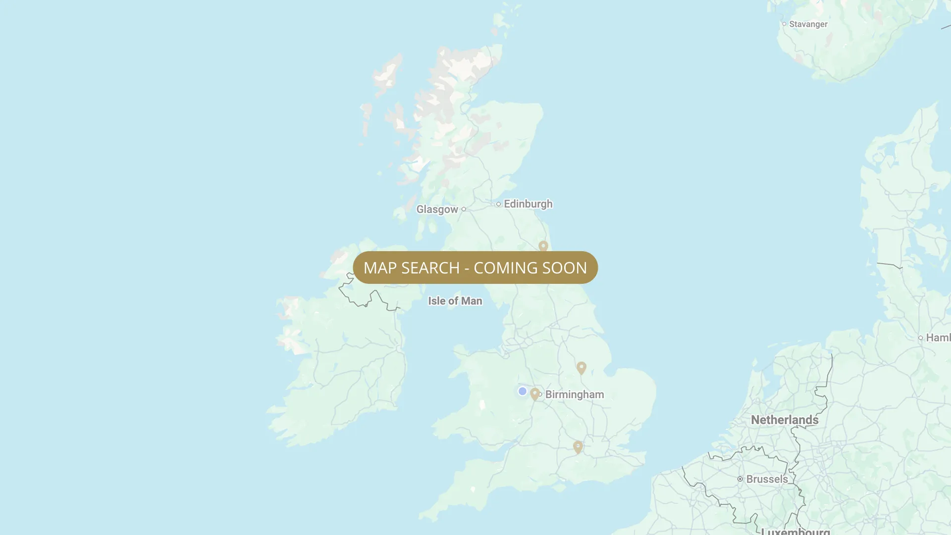
From its Staffordshire source to the Humber estuary, we are mapping every stretch on the Trent with verified permits, parking and access information.
.webp)
Important:
This component uses Transforms (Move Down 100%) to hide and show modal (on Tablet) so that filters apply once the user hits the apply button (optimal UX). Using the display: hidden will prevent the apply button from working.
To show and hide the modal for editing purposes on Tablet:
To show and hide the modal for editing purposes on Tablet:
- Select the filters2_filters-wrapper inside the parent div filters2_layout div.
- Hit the Hide button and it will show (yes this is counterintuitive).
Thank you! Your submission has been received!
Oops! Something went wrong while submitting the form.


Filters
Stoke Bardolph, Ferry Field — Ashfield Angling Club (AAC) — members only
From
Below Stoke Lock — Ferry Field, gated road access
To
Downstream end of Ferry Field
Membership Only
Needs verification
NG14 5HX
Permitted

Stoke Bardolph, Nelson Field — Ashfield Angling Club (AAC) — members only
From
Via gated road adjacent Burton Joyce Railway Station — downstream of Road Stretch
To
Downstream end of Nelson Field
Membership Only
Needs verification
NG14 5AP
Permitted
Stoke Bardolph, The Rack — Ashfield Angling Club (AAC) — members only
From
Through Nelson Field, over cattle grid, immediate right, dirt track to Ashfield gate
To
Downstream end of The Rack (upstream of Cherry Orchard)
Membership Only
Needs verification
NG14 5AP
Permitted
Stoke Bardolph, Cherry Orchard — Ashfield Angling Club (AAC) — members only
From
Beyond The Rack — furthest downstream AAC members section at Stoke Bardolph
To
Cherry Orchard downstream boundary
Membership Only
Needs verification
NG14 5AP
Permitted
Gunthorpe (Gunthorpe Complex — AAC members only, night fishing, 4 lakes + river)
From
Gunthorpe upstream boundary (Fuller Caravans Lowdham Rd Gunthorpe — NO PARKING THERE, use alternative parking)
To
Gunthorpe downstream boundary
Membership Only
Needs verification
NG14 7ER (Fuller Caravans Lowdham Rd Gunthorpe — NO PARKING THERE)
Permitted
Gunthorpe Lock Fishery — Main River Stretch (30 swims, day ticket & season membership) — Tammy Hemsell & Aaron Hind
From
Gunthorpe Lock, upstream of weir — Gunthorpe Main Street area NG14 7FB
To
Downstream extent NEEDS VERIFY
Day Ticket Only
Needs verification
NG14 7FB (Gunthorpe)
Not Permitted
Gunthorpe 'Penton's Field' (2nd meadow downstream of lock) — Nottingham Federation of Anglers (day tickets)
From
Caythorpe/Hoveringham upstream boundary (see MAS map at midlandanglingsociety.com)
To
Caythorpe/Hoveringham downstream boundary
Day Ticket & Season
Needs verification
NG14 7JP
Permitted
Hazelford (Upper Weir, 15 pegs, end of 1st meadow to 100yds above weir) — Nottingham Federation of Anglers
From
Second meadow downstream of Gunthorpe Lock (Federation does NOT hold 1st meadow — strict no-fishing zone)
To
End of Penton's Field (downstream end)
Day Ticket & Season
Needs verification
NG14 7FT
Permitted
Gunthorpe — Glebe Farm Cottages (600m exclusive to accommodation guests, + 300m Notts Fed day ticket adjacent)
From
Glebe Farm Cottages bank, Gunthorpe (edge of riverside village)
To
900m downstream
Campers Only
0.4 mi
On-site parking at Glebe Farm Cottages, Peck Lane, Gunthorpe NG14 7EX. Guests only.
Permitted
Caythorpe / Hoveringham (140 pegs) — Midland Angling Society (MAS)
From
Caythorpe upstream boundary — MAS water alongside A612 Nottingham to Southwell road
To
Hoveringham downstream boundary
Day Ticket Only
Needs verification
NG14 7JP
Permitted
No results found.
There are no results with this criteria. Try changing your search.