
Every river. Every stretch. Every detail.
We are mapping every fishable river in the UK, one stretch at a time. Starting with the Thames, with more rivers coming soon.
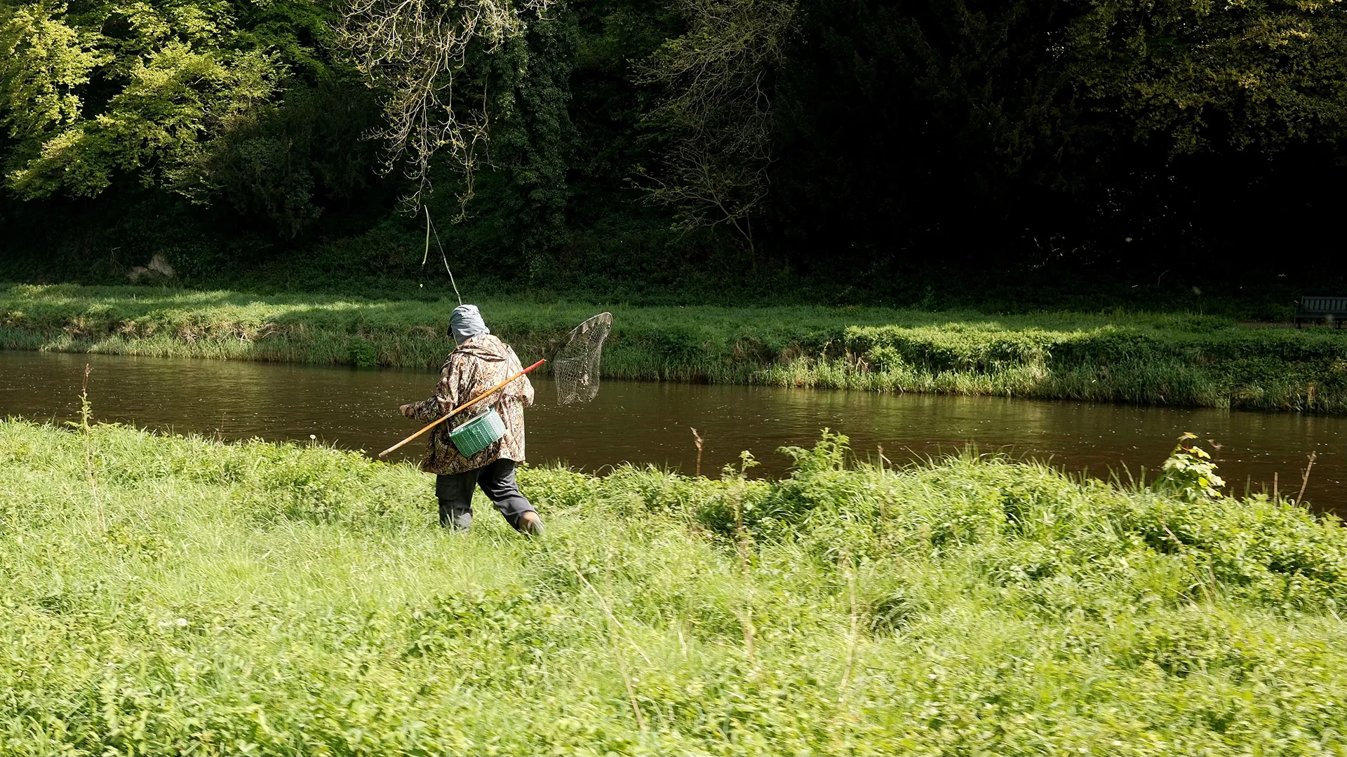


River Thames
Every fishable stretch on the Thames, verified and mapped, from source to estuary.
.webp)
River Trent
Every fishable stretch on the Trent, mapped from source to estuary, coming soon.
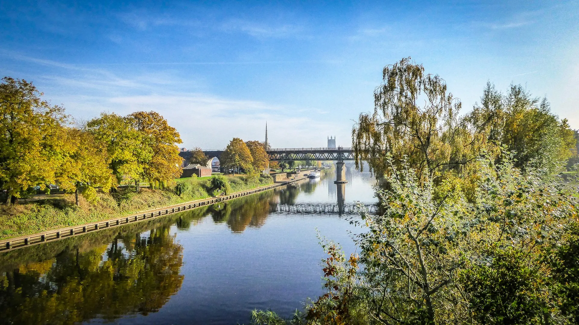
River Severn
Every fishable stretch on the Severn, mapped from source to estuary, coming soon.
.webp)
River Wye
Every fishable stretch on the Wye, verified and mapped, from source to estuary.

Warwickshire Avon
Every fishable stretch on the Warwickshire Avon, verified and mapped, from source to estuary.
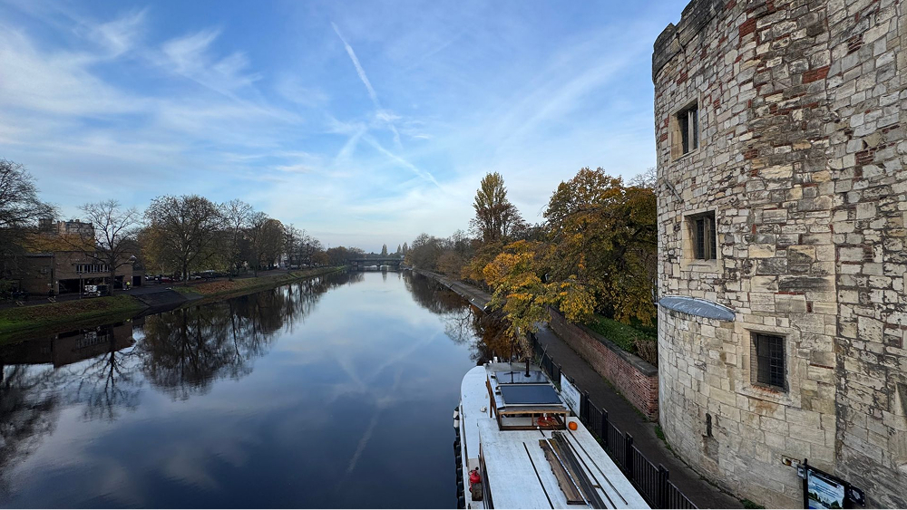
River Great Ouse
Every fishable stretch on the Great Ouse, verified and mapped, from source to the Wash.
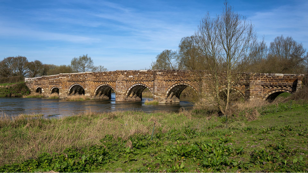
River Stour (Dorset)
Every fishable stretch on the Dorset Stour, verified and mapped, from source to sea.
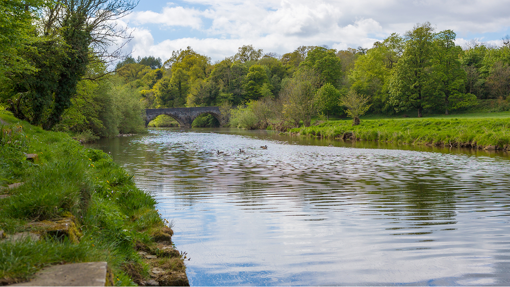
River Ribble
Every fishable stretch on the River Ribble, verified and mapped, from source to sea.
