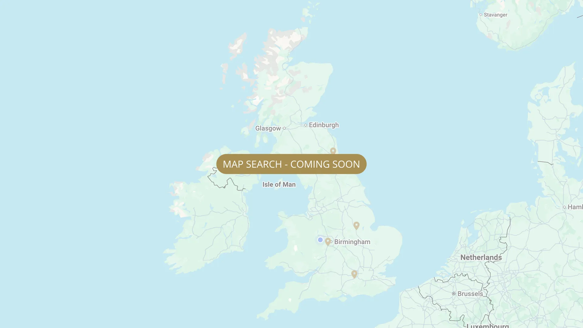
From its Staffordshire source to the Humber estuary, we are mapping every stretch on the Trent with verified permits, parking and access information.
.webp)
Important:
This component uses Transforms (Move Down 100%) to hide and show modal (on Tablet) so that filters apply once the user hits the apply button (optimal UX). Using the display: hidden will prevent the apply button from working.
To show and hide the modal for editing purposes on Tablet:
To show and hide the modal for editing purposes on Tablet:
- Select the filters2_filters-wrapper inside the parent div filters2_layout div.
- Hit the Hide button and it will show (yes this is counterintuitive).
Thank you! Your submission has been received!
Oops! Something went wrong while submitting the form.


Filters
Radcliffe on Trent (Hallowell Fishery, ~800m + ponds) — Radcliffe on Trent Angling Society (ROTAS)
From
Hallowell section above Stoke Weir, Radcliffe on Trent
To
~800m downstream from Hallowell section
Day Ticket & Season
0.5 mi
Holme Road, Radcliffe on Trent. Car park at downstream end. (radcliffeontrentas.co.uk) NG12 2LX
Not Permitted

Colwick Country Park — River Trent day ticket (£6) — Nottingham City Council
From
Colwick Country Park, Nottingham (NG2 4HH area) — riverside within the park
To
Downstream extent within park boundary
Day Ticket Only
1.5 mi
NG2 4BH
Not Permitted
Nottingham (Adbolton / Little Higgin, 300 yards) — NAA (members only)
From
End of Sailing Club frontage (upstream boundary)
To
Clapper gate (downstream boundary)
Membership Only
0.2 mi
NG12 2LU
Not Permitted
Nottingham (Colwick Park, ~30 pegs) — Long Eaton Victoria Angling Society (LEVAS)
From
Below the massive mechanical weir gates at Colwick (upstream end, below loop/stream bridge)
To
Downstream end of ~30-peg stretch — river runs straight, ~45m wide, 2-3m deep
Membership Only
Needs verification
NG4 2 — access off Daleside Road East or via Meadow Lane. Solid fishing platforms with steps built by NRA. Upper half steep banks — care required. Loop now bridged (no wading needed). Two people recommended on upper section.
Permitted
Long Higgin — FREE FISHING (Angling Times 2021 confirmed)
From
Long Higgin — immediately downstream of Lady Bay Bridge
To
Long Higgin downstream boundary — upstream of Notts Fed Radcliffe stretch
Free
Needs verification
NG14 (Burton Joyce area)
Not Permitted
Stoke Bardolph / Burton Joyce (Road Stretch, 42 pegs — day tickets + members, 'Golden Mile'). Home of Riverfeast Finals and Riverfest Qualifier.
From
Stoke Bardolph Road Stretch upstream boundary (Ferry Boat Inn area, NG14 5HX)
To
Downstream boundary of road stretch — STRICTLY NO day tickets above or below road stretch (do not fish past any locked gates)
Day Ticket & Season
Needs verification
NG14 5HX (Ferry Boat Inn, Stoke Bardolph) / NG14 5AP (Burton Joyce Railway Station)
Not Permitted
Burton Joyce, Pylons — Ashfield Angling Club (AAC) — members only
From
Pylons section, Burton Joyce — immediately beyond day ticket Road Stretch
To
Downstream boundary of Pylons section
Membership Only
Needs verification
NG14 (Burton Joyce)
Permitted
Burton Joyce, Cherry Orchard — Ashfield Angling Club (AAC) — members only
From
Cherry Orchard section — downstream of Pylons, Burton Joyce
To
Downstream boundary of Cherry Orchard section
Membership Only
Needs verification
NG14 (Burton Joyce)
Permitted
Burton Joyce, Meadows — Ashfield Angling Club (AAC) — members only
From
Meadows section — downstream of Cherry Orchard, Burton Joyce
To
Downstream boundary of Meadows section
Membership Only
Needs verification
NG14 (Burton Joyce)
Permitted
Stoke Bardolph, Weir Section — Ashfield Angling Club (AAC) — members only
From
Above Stoke Lock/Weir — gated road near Ferry Boat Inn, walk over Lock Gates onto Island (~200 yards)
To
Downstream end of Weir section above Stoke Lock
Membership Only
Needs verification
NG14 5HX
Permitted
No results found.
There are no results with this criteria. Try changing your search.