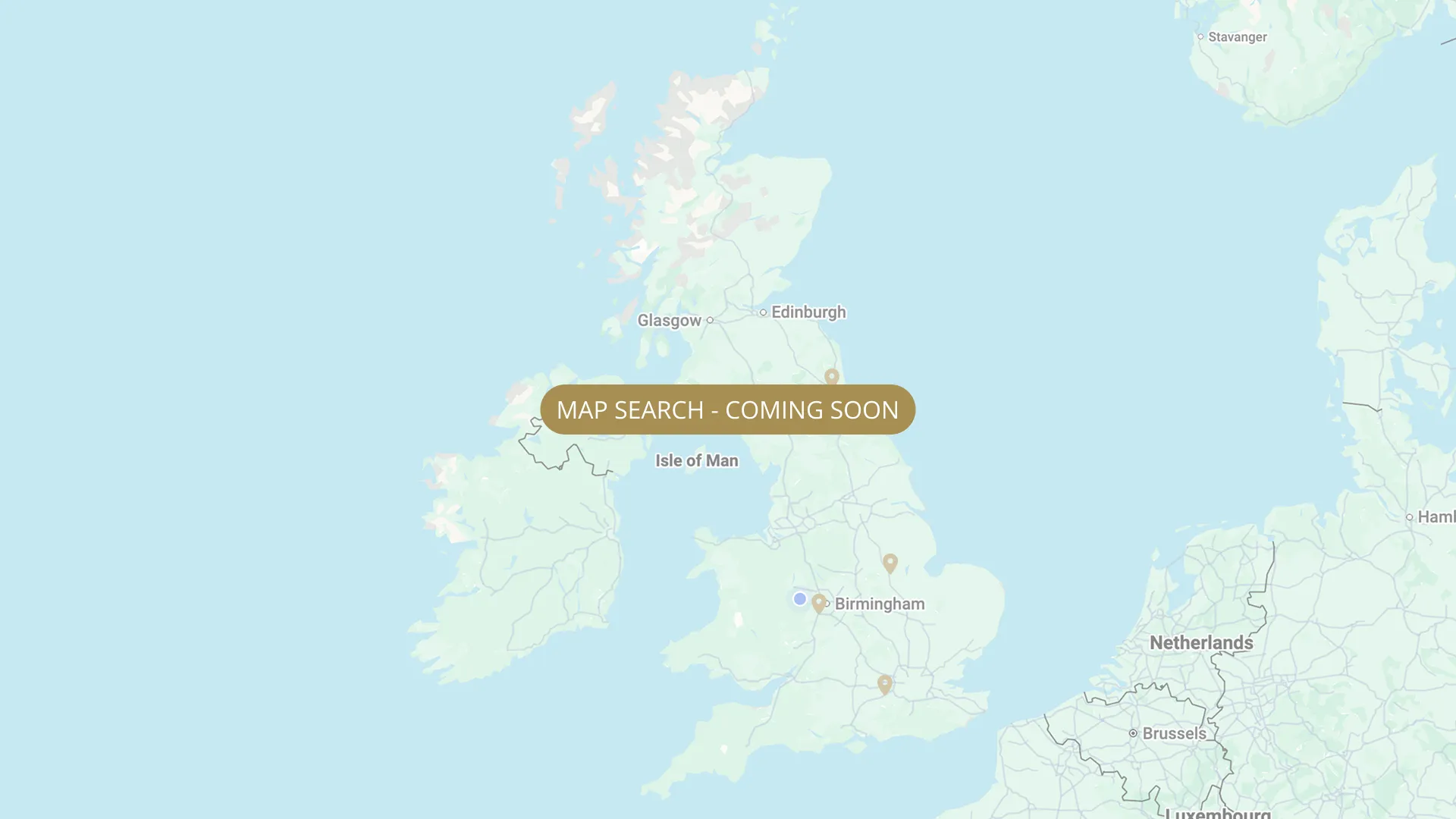
From its Staffordshire source to the Humber estuary, we are mapping every stretch on the Trent with verified permits, parking and access information.
.webp)
Important:
This component uses Transforms (Move Down 100%) to hide and show modal (on Tablet) so that filters apply once the user hits the apply button (optimal UX). Using the display: hidden will prevent the apply button from working.
To show and hide the modal for editing purposes on Tablet:
To show and hide the modal for editing purposes on Tablet:
- Select the filters2_filters-wrapper inside the parent div filters2_layout div.
- Hit the Hide button and it will show (yes this is counterintuitive).
Thank you! Your submission has been received!
Oops! Something went wrong while submitting the form.


Filters
Beeston (below weir, ~1.25 miles) — NAA (members only, night permit)
From
Downstream of Beeston Weir (upstream boundary)
To
~1.25 miles downstream
Membership Only
1.2 mi
NG9 1QA
Permitted

Beeston (above weir to marina) — W.H. Taylor (day tickets on bank)
From
Last boat moored at Beeston Marina (upstream boundary)
To
Barton Lane where overflow enters from Attenborough NR (downstream boundary)
Day Ticket Only
Needs verification
NG9 1NA
Permitted
Nottingham Victoria Embankment — FREE FISHING (Trent Bridge to Wilford area)
From
Trent Bridge area (upstream boundary — concrete stepped banks begin)
To
Wilford Bridge area (downstream boundary — full loop of embankment)
Free
1.5 mi (approx)
NG1 1HF
Not Permitted
Clifton Grove — Clifton Grove Angling Club (day tickets + season tickets, 24 hours)
From
Fabis Drive, Clifton, Nottingham — east bank south of Clifton Bridge. Clifton Grove woodland cliff face above river.
To
Downstream extent — ~2 miles of cliff bank (Clifton Grove woodland). Clifton Bridge area south bank.
Day Ticket & Season
2.0 mi (approx)
NG11 (Clifton, Nottingham — Fabis Drive)
Permitted
Nottingham (Clifton Bridge downstream to flood bank) — Southside Fishery (private syndicate)
From
Clifton Bridge (downstream)
To
Flood bank (downstream limit)
Private / Syndicate
NG11 7AT
Not Permitted
Wilford Ferry Field (Moderns Rugby Club) — Nottingham Federation of Anglers (Notts Fed)
From
Wilford Ferry Field, Moderns Rugby Club, Wilford, Nottingham — adjacent to Ferry Boat Inn
To
Downstream extent of Ferry Field stretch
Day Ticket & Season
Needs verification
NG11 7AA
Not Permitted
Nottingham (Clifton Bridge / Grove Farm) — Notts Fed (NG7 2SA, day tickets)
From
Grove Farm entrance (upstream boundary)
To
Pegs below Clifton Bridge (downstream end)
Day Ticket & Season
Needs verification
NG7 2SA
Permitted
Nottingham (Lenton / Clifton — Powergen Water) — Notts Fed (20 pegs, NG7 2SA)
From
Downstream of Clifton Bridge, next field (upstream end)
To
20 pegs downstream end
Day Ticket Only
Needs verification
NG7 2SA
Permitted
Nottingham (Radcliffe Viaducts) — Notts Fed (43 pegs, NG12 2LU, KEY required)
From
Bottom of security gate track — pegs begin at river bank
To
Downstream end of 43-peg stretch
Day Ticket & Season
Needs verification
NG12 2LU
Permitted
Lady Bay Bridge to Long Higgin (70+ pegs) — Bingham & District Angling Club
From
Lady Bay Bridge (A6011), West Bridgford — downstream of bridge (upstream boundary of BDAC water)
To
Long Higgin area — downstream end of 70+ peg stretch (east of Nottingham)
Day Ticket & Season
2.5 mi (approx)
Long Higgin end: playground car park off Holme Road (Holme Grove car park, first on right at end of road). Mid section: lay-by on right along Holme Road (~peg 20). Lady Bay Bridge end: park under bridge adjacent to peg 1 (past boat clubs, over canal).
Permitted
No results found.
There are no results with this criteria. Try changing your search.