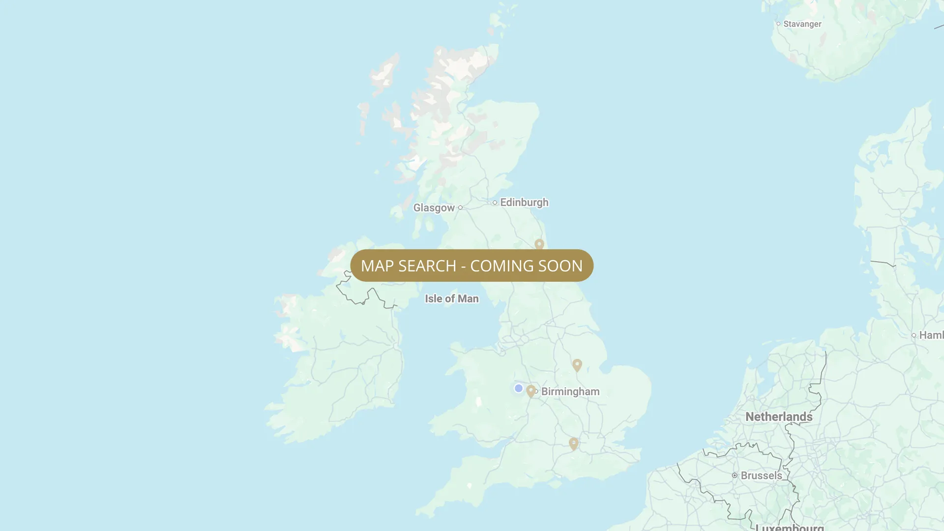
From its Staffordshire source to the Humber estuary, we are mapping every stretch on the Trent with verified permits, parking and access information.
.webp)
Important:
This component uses Transforms (Move Down 100%) to hide and show modal (on Tablet) so that filters apply once the user hits the apply button (optimal UX). Using the display: hidden will prevent the apply button from working.
To show and hide the modal for editing purposes on Tablet:
To show and hide the modal for editing purposes on Tablet:
- Select the filters2_filters-wrapper inside the parent div filters2_layout div.
- Hit the Hide button and it will show (yes this is counterintuitive).
Thank you! Your submission has been received!
Oops! Something went wrong while submitting the form.


Filters
Long Eaton — Long Eaton Victoria Angling Society (LEVAS) — opposite Thrumpton, one marsh
From
Below Cranfleet Lock — Cranfleet Canal bottom end, Long Eaton / Thrumpton area NG10
To
One marsh downstream from Cranfleet Lock. Opposite Thrumpton.
Membership Only
0.6 mi (approx)
NG10 (Long Eaton / Cranfleet area)
Permitted

Spring Lakes (River Trent between the lakes) — Spring Lakes Watersports & Leisure (membership only)
From
Pasture Lane, Long Eaton NG10 2FZ — River Trent section between Spring Lakes complex
To
Downstream boundary NEEDS VERIFY
Membership Only
Needs verification
NG10 2FZ (Pasture Lane, Long Eaton)
Permitted
Thrumpton Estate River Trent — Ashfield Angling Club (AAC) — dawn to dusk ONLY
From
Thrumpton Estate weir outfall pipe — NG11 0AX (1 Hall Gates, Church Lane, Thrumpton)
To
Below wooded area behind conifers — includes Soar confluence section
Membership Only
Needs verification
NG11 0AX (Thrumpton — Hall Gates, Church Lane)
Not Permitted
Ferry Farm, Thrumpton — Ashfield Angling Club (AAC) — night fishing allowed
From
Ferry Farm, Thrumpton NG11 0AZ (Church Lane, Thrumpton) — woodland section + deep Trent length
To
Downstream extent NEEDS VERIFY
Membership Only
Needs verification
NG11 0AZ (Ferry Farm, Church Lane, Thrumpton)
Permitted
Thrumpton (opposite Thrumpton Estate) — Nottingham Piscatorial Society (NPS)
From
Upstream NPS boundary (marked with NPS Member Only signs), Thrumpton
To
Downstream NPS boundary (marked with NPS Member Only signs), Thrumpton
Membership Only
Needs verify
NG10 2FZ
Permitted
Nottingham (Thrumpton) — Notts Fed (members only, 2nd and 3rd meadows from Thrumpton Ferry)
From
End of first meadow downstream of Thrumpton Ferry site (2nd meadow start)
To
End of third meadow (downstream boundary)
Membership Only
Needs verification
NG11 0AZ
Permitted
Nottingham (Barton in Fabis) — TVA (Barton Ferry Field)
From
Adjacent to chalets on left (upstream boundary)
To
Caravan on right (downstream boundary)
Membership Only
Needs verification
NG11 0AD
Permitted
Nottingham (Clifton) — TVA (The Pads)
From
Wooded area at start of stretch (from yellow gate via Fox Covert Lane)
To
Field boundary fence/hedge
Membership Only
Needs verification
NG11 8NQ
Permitted
Nottingham (Clifton) — TVA (The Willows)
From
End of Hydro Power Station (upstream boundary)
To
End of chalets on left (downstream boundary)
Membership Only
Needs verification
NG11 8NQ
Permitted
Nottingham (Clifton / Beeston Weir) — TVA (Weir Field / Bay / Cherry Island)
From
End of Hydro Power Station wall (upstream boundary)
To
Slate beds just past The Bay (downstream boundary)
Membership Only
Needs verification
NG11 8NH
Permitted
No results found.
There are no results with this criteria. Try changing your search.