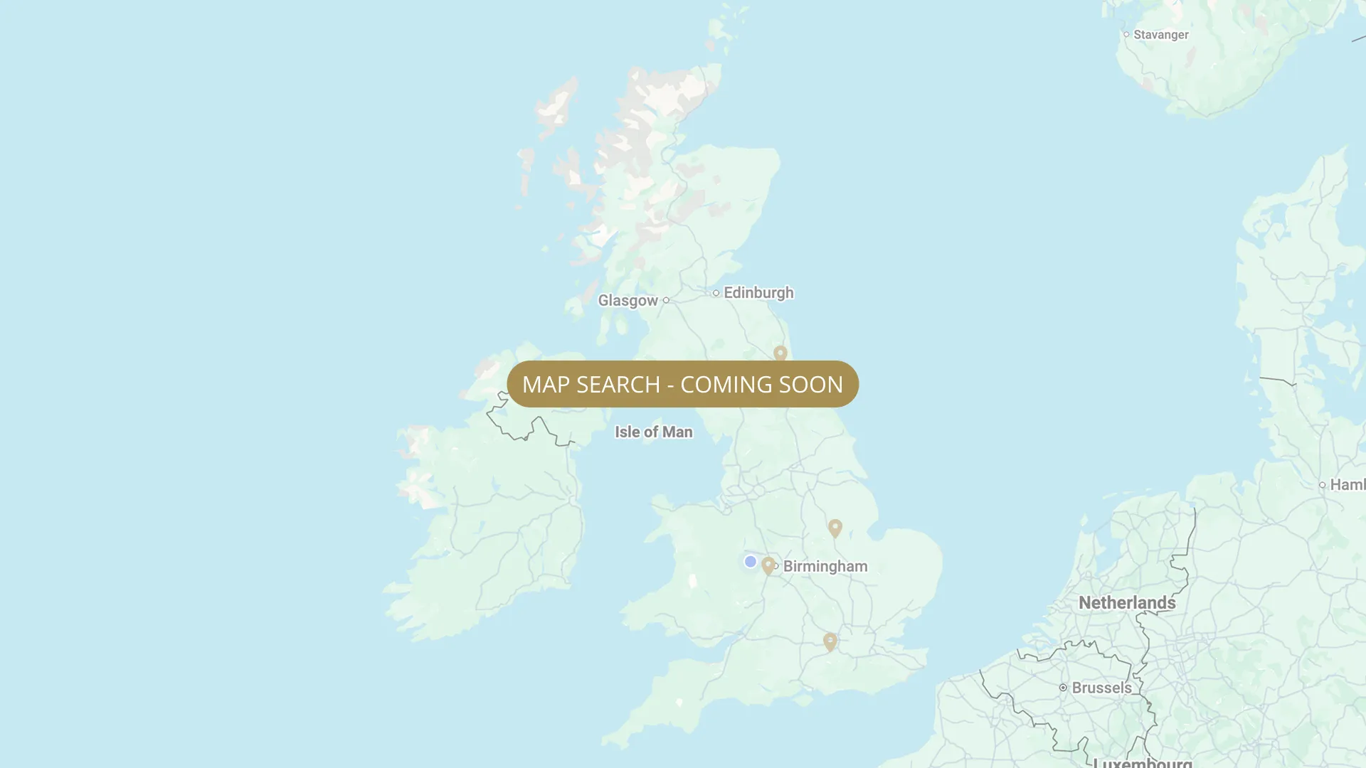
From its Staffordshire source to the Humber estuary, we are mapping every stretch on the Trent with verified permits, parking and access information.
.webp)
Important:
This component uses Transforms (Move Down 100%) to hide and show modal (on Tablet) so that filters apply once the user hits the apply button (optimal UX). Using the display: hidden will prevent the apply button from working.
To show and hide the modal for editing purposes on Tablet:
To show and hide the modal for editing purposes on Tablet:
- Select the filters2_filters-wrapper inside the parent div filters2_layout div.
- Hit the Hide button and it will show (yes this is counterintuitive).
Thank you! Your submission has been received!
Oops! Something went wrong while submitting the form.


Filters
Hoveringham (Conygre Farm, 560 yards) — Derbyshire County Angling Club (DCAC)
From
Conygre Farm, Hoveringham NG14 7JP — upstream end reached through locked farm gate
To
560 yards downstream end (river bank parking available)
Day Ticket & Season
0.32 mi
NG14 7JP (Hoveringham)
Permitted

East Bridgford (below Gunthorpe Weir, ~1.5 miles) — NAA (members only, night permit)
From
Directly below Gunthorpe Weir
To
~1.5 miles downstream
Membership Only
1.5 mi
NG14 7FB
Permitted
Willington (Doctors Surgery, ~1,100 yards, night fishing available) — Derbyshire County Angling Club (DCAC)
From
Doctors Surgery, Willington upstream boundary — access through locked gate, vehicle access for first ½ km
To
Downstream end of ~1,100 yard stretch
Membership Only
0.62 mi
DE65 (Willington, Derbyshire)
Permitted
Willington (Finger Lake frontage up to fence) — Derbyshire County Angling Club (DCAC)
From
Willington Finger Lake frontage upstream boundary
To
Up to the fence (downstream boundary) — short River Trent frontage alongside Finger Lake
Day Ticket & Season
Needs verification
DE65 (Willington, Derbyshire)
Permitted
Bleasby (470 yards) — NAA
From
200 yards upstream of end of caravan site (upstream boundary — walk from car park)
To
Downstream end of 470-yard stretch
Membership Only
0.27 mi
NG14 7GR
Permitted
Fiskerton - Barnsley DAAS (Day Tickets + Season Permits + ABF Night Fishing Syndicate)
From
Fiskerton upstream boundary 200 metres below Nabb's Island - peg 85
To
Fiskerton downstream boundary (to wharf — 3 private pegs below BDAA)
Day Ticket & Season
Needs verification
NG25 0XJ
Permitted
Fiskerton (Horsefield stretch) — Barnsley & District Amalgamated Angling Society (BDAAS)
From
Fiskerton, Nottinghamshire NG25 0XJ — downstream end of Horsefield stretch (car park end)
To
Upstream boundary NEEDS VERIFY — separate from NPS Fiskerton stretch
Day Ticket & Season
Needs verification
NG25 0XJ
Permitted
Fiskerton (upstream of BDAA, west bank) — Creda Red House Angling Club
From
Gravelly Lane / Clay Pit Lane area (Fiskerton)
To
BDAA northern boundary (Fiskerton)
Membership Only
0.2 mi (approx)
LN6 9JR Gravelly Lane / Clay Pit Lane area, Fiskerton. Roadside or by arrangement.
Permitted
Fiskerton (right bank) — Nottingham Piscatorial Society (NPS) — day tickets
From
Fiskerton upstream boundary — NPS north bank
To
Fiskerton downstream boundary
Day Ticket & Season
2.0 mi (approx)
NG25 0LD
Not Permitted
Rolleston (right bank) — Nottingham Piscatorial Society (NPS) — day tickets
From
Rolleston upstream boundary — NPS north bank
To
Rolleston downstream boundary
Day Ticket & Season
2.0 mi (approx)
NG23 5SE
Not Permitted
No results found.
There are no results with this criteria. Try changing your search.