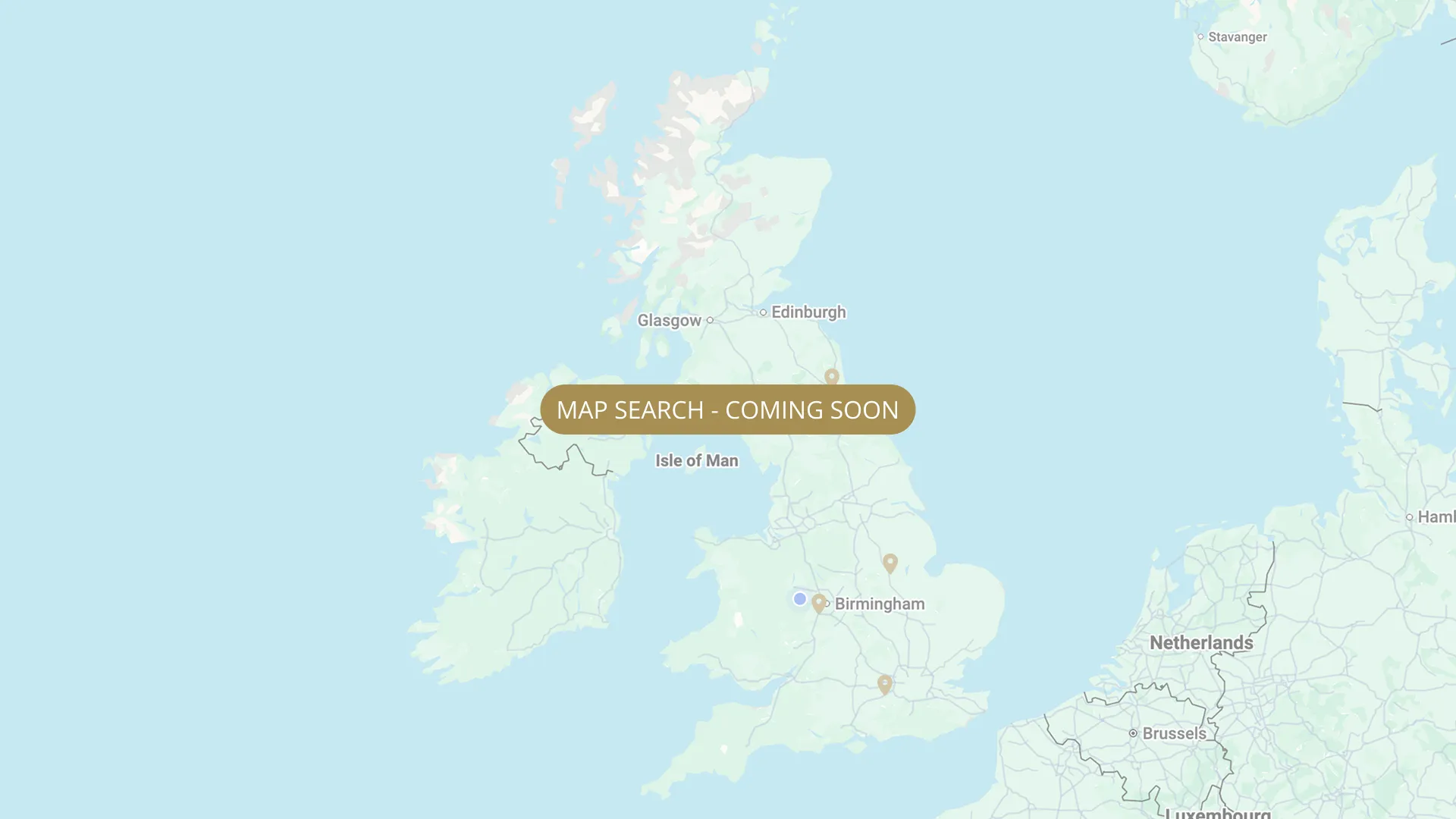
From its Staffordshire source to the Humber estuary, we are mapping every stretch on the Trent with verified permits, parking and access information.
.webp)
Important:
This component uses Transforms (Move Down 100%) to hide and show modal (on Tablet) so that filters apply once the user hits the apply button (optimal UX). Using the display: hidden will prevent the apply button from working.
To show and hide the modal for editing purposes on Tablet:
To show and hide the modal for editing purposes on Tablet:
- Select the filters2_filters-wrapper inside the parent div filters2_layout div.
- Hit the Hide button and it will show (yes this is counterintuitive).
Thank you! Your submission has been received!
Oops! Something went wrong while submitting the form.


Filters
East Stoke (Pylon Field, 20 pegs) — NAA (members only, night permit)
From
Downstream of old petrol station (now car wash) on A46, East Stoke — entrance ~50 yards beyond
To
20 pegs — no cars downstream of parking area
Day Ticket Only
Needs verification
NG23 5QL
Permitted

Farndon (~0.75 mile) — NAA (members only, night permit)
From
350 yards downstream of Farndon Marina entrance (walk from upper car park — upstream boundary)
To
Downstream end — lower car park access via Long Lane (cars must not go upstream of lower car park)
Membership Only
0.8 mi
NG24 4SX
Permitted
Shelford (4.5 miles, Crown Estate) — NAA (members only, NO night fishing)
From
Just upstream of Gunthorpe Bridge (limited parking) OR Stoke Ferry Lane car park (key required) OR Hamms Bridge car park (key required)
To
Crown Estate boundary downstream — both main car parks
Membership Only
4.5 mi (approx)
NG14 7ET
Not Permitted
East Stoke (Sheldons, 17 pegs) — Newark & District Piscatorial Federation
From
School Lane, East Stoke NG23 5QL — locked gate from School Lane (combination)
To
Downstream end of 17-peg stretch
Membership Only
Needs verification
NG23 5QL
Not Permitted
East Stoke / Farndon (55 pegs) — Newark & District Piscatorial Federation
From
Fosse Road (former A46), East Stoke NG23 5QH — locked gate into car park
To
Downstream end of 55-peg stretch (peg 27 onwards via new extension — vehicles NOT on flood bank)
Membership Only
Needs verification
NG23 5QH
Not Permitted
Rolleston (40 pegs) — Newark & District Piscatorial Federation
From
Swillow Lane, Rolleston NG23 5SJ — rough track with 2 locked gates (combination). Alternative: Staythorpe Power Station access (foot only).
To
Downstream end of 40-peg stretch
Membership Only
Needs verification
NG23 5SJ
Not Permitted
Farndon / Newark (Power Station, 36 pegs) — Newark & District Piscatorial Federation (day tickets)
From
Long Lane, Farndon NG24 3UE — turn right at mini roundabout, follow track toward power station. At river: NDPF water to RIGHT, Notts AA (NAA) water to LEFT.
To
Downstream end of 36-peg stretch (first 14 pegs on river, remainder on upper Trent Dyke)
Day Ticket & Season
Needs verification
NG24 3UE
Not Permitted
Newark (Maltkiln Lane Trent Fishing, 8 pegs, day + night, pods/bivvy) — Private
From
Above Nether Lock, Newark (NG24 1HN)
To
8 pegs downstream
Day Ticket Only
NG24 1HN
Permitted
Newark (Trent Dyke — Fletchers, Marsh Lane Farndon)
From
Marsh Lane, Farndon
To
Upstream limit near Farndon village (pegs 37-70)
Day Ticket & Season
NG24 4TG
Not Permitted
Newark (Trent Dyke — Crow Trees)
From
Mill Lane, Newark (stone bridge)
To
Upstream limit near marina mouths
Day Ticket & Season
NG24 4US
Not Permitted
No results found.
There are no results with this criteria. Try changing your search.