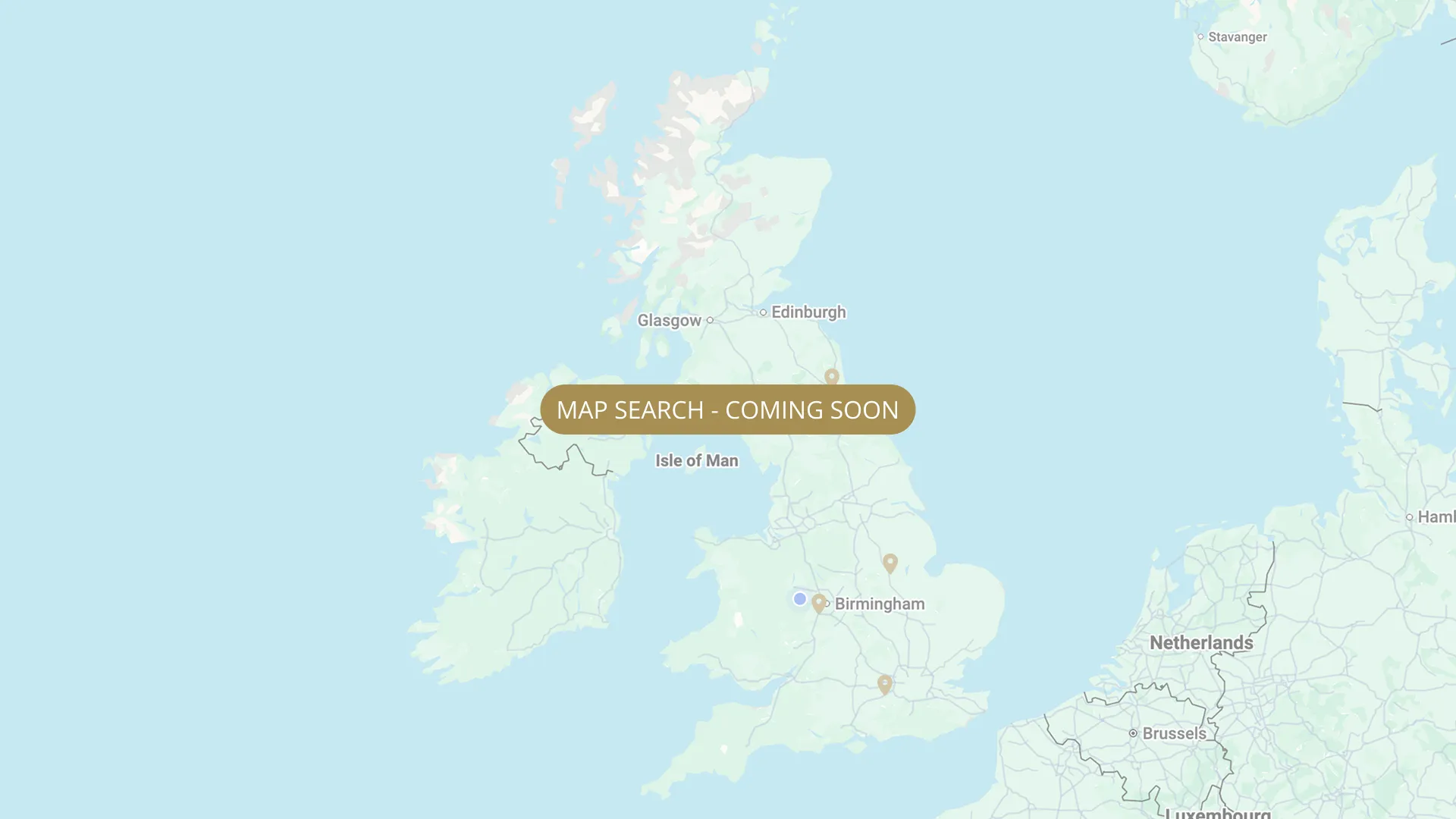
From its Staffordshire source to the Humber estuary, we are mapping every stretch on the Trent with verified permits, parking and access information.
.webp)
Important:
This component uses Transforms (Move Down 100%) to hide and show modal (on Tablet) so that filters apply once the user hits the apply button (optimal UX). Using the display: hidden will prevent the apply button from working.
To show and hide the modal for editing purposes on Tablet:
To show and hide the modal for editing purposes on Tablet:
- Select the filters2_filters-wrapper inside the parent div filters2_layout div.
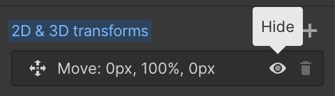
- Hit the Hide button and it will show (yes this is counterintuitive).
Thank you! Your submission has been received!
Oops! Something went wrong while submitting the form.


Filters
Burton-on-Trent, Watersmeet — Coors Angling Club (DAWN TO DUSK ONLY)
From
Double coral gates at end of Baileys Meadow — foot access only
To
Downstream extent of Watersmeet (furthest downstream Coors Burton section)
Membership Only
Needs verification
DE14 1SX
Not Permitted

Burton-on-Trent — FREE FISHING for people that live or work in Burton-on-Trent . Stapenhill / Winshill side which is the left side when stood looking upstream.
From
Just above railway bridge at Waterside Road, Burton-upon-Trent
To
Newton Road Park (downstream end)
Free
Needs verification
DE14 2WF
Not Permitted
Newton Solney — FREE FISHING (small section, Trent Lane)
From
Trent Lane, Newton Solney, Burton-upon-Trent
To
Downstream boundary NEEDS VERIFY
Free
Needs verification
DE15 0SL
Not Permitted
Newton Solney — Swadlincote & District Angling Association (SDAA) — members only
From
Upstream SDAA boundary marker, Newton Water Old Stretch (above Trent Lane, Newton Solney)
To
Downstream SDAA boundary sign, Newton Water Old Stretch, Newton Solney
Membership Only
Needs verification
DE15 0SL
Not Permitted
Burton (Branston Golf Course) — BMAA
From
Branston Golf & Country Club riverbank
To
Downstream boundary on BMAA river maps
Membership Only
Needs verification
DE14 3HD
Not Permitted
Walton on Trent — Burton Mutual Angling Association (BMAA)
From
Upper boundary fence 200m upstream of Catton Road car park gate
To
Lower boundary fence near road at Walton
Membership Only
Needs verification
DE12 8PH
Not Permitted
Catton — Burton Mutual Angling Association (BMAA)
From
Catton stretch — combination lock gate (email secretary@burtonmutual.co.uk for code)
To
Catton downstream extent NEEDS VERIFY
Membership Only
Needs verification
DE12 8RN
Not Permitted
Willington — Burton Mutual Angling Association (BMAA)
From
Willington (cooling towers) — main gate off road
To
Downstream boundary NEEDS VERIFY
Membership Only
Needs verification
DE65 6DE
Permitted
Stenson / Frizzams Lane — Burton Mutual Angling Association (BMAA)
From
Frizzams Lane, Stenson, Derbyshire
To
Downstream boundary NEEDS VERIFY
Membership Only
Needs verification
DE73 7GJ
Permitted
Twyford — Burton Mutual Angling Association (BMAA)
From
Twyford village lane — footpath west over stream (no fishing in village)
To
Downstream boundary NEEDS VERIFY
Membership Only
Needs verification
DE73 7HJ
Permitted
No results found.
There are no results with this criteria. Try changing your search.