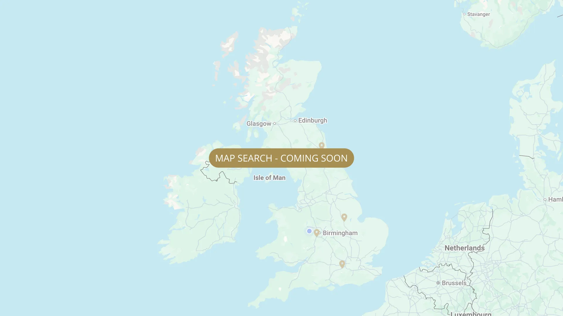
From its Staffordshire source to the Humber estuary, we are mapping every stretch on the Trent with verified permits, parking and access information.
.webp)
Important:
This component uses Transforms (Move Down 100%) to hide and show modal (on Tablet) so that filters apply once the user hits the apply button (optimal UX). Using the display: hidden will prevent the apply button from working.
To show and hide the modal for editing purposes on Tablet:
To show and hide the modal for editing purposes on Tablet:
- Select the filters2_filters-wrapper inside the parent div filters2_layout div.
- Hit the Hide button and it will show (yes this is counterintuitive).
Thank you! Your submission has been received!
Oops! Something went wrong while submitting the form.


Filters
Ingleby (John Thompson) — Derby Railway Angling Club (DRAC)
From
Ingleby upstream boundary (near John Thompson Inn, Ingleby, DE73 7HW area)
To
Ingleby downstream boundary
Membership Only
Parking at Old Cliff Inn (short walk). Access via Ukrainian Camp. (drac.org.uk)
Permitted

Barrow on Trent — Burton Mutual Angling Association (BMAA)
From
Barrow on Trent — foot access only (no car park)
To
Downstream boundary NEEDS VERIFY
Membership Only
Needs verification
DE73 7HA
Permitted
Repton / Milton / Ingleby — Burton Mutual Angling Association (BMAA) — key required
From
Repton/Milton/Ingleby — 3 isolated sections, key required
To
Downstream boundaries NEEDS VERIFY
Membership Only
Needs verification
DE65 6FG
Permitted
Swarkestone Bridge (north bank, east side) — Burton Mutual Angling Association (BMAA)
From
East side of Swarkestone Bridge, north bank — The Pingle beside St James Church, Church Lane
To
Downstream to fence near Crewe & Harpur pub. Pedestrian access via Woodshop Lane.
Membership Only
Needs verification
DE73 7GH
Permitted
Swarkestone (south/Melbourne bank, above + below bridge) — Derby Railway Angling Club (DRAC)
From
Few hundred yards above Swarkestone Bridge on Melbourne (south) bank
To
Downstream extent of 1st and 2nd fields below bridge (locked access track)
Membership Only
Needs verification
DE73 7GH (Swarkestone Bridge area)
Permitted
Shardlow — Pipe Bridge & Boathouse (north bank, downstream past Marina mouth) — Derby Railway Angling Club (DRAC)
From
Former Shardlow Brewery wall — north bank, opposite bank from Crown Bend
To
Bottom boundary behind Silt Pool (downstream of Glazebrooks Pool)
Membership Only
Needs verification
DE72 2HL (Shardlow Marina area)
Permitted
Shardlow — The Crown Bend (south bank, Cavendish Bridge to Shardlow) — Derby Railway Angling Club (DRAC)
From
Black metal gate past Crown Inn (Cavendish Bridge) → Three Cranes House garden → stile into field
To
"Garden Peg" — last peg of section, downstream end
Membership Only
Needs verification
DE72 2HL (Cavendish Bridge / Crown Inn)
Permitted
Castle Donington — Washlands (south bank, upstream section) — Derby Railway Angling Club (DRAC)
From
DRAC Washlands upstream boundary — Castle Donington (south/Leicestershire) bank
To
DRAC Washlands downstream boundary
Membership Only
Needs verification
DE74 (Castle Donington area)
Permitted
Castle Donington — West Meadow (south bank, downstream of Railway Bridge) — Derby Railway Angling Club (DRAC)
From
Downstream of Railway Bridge — south (Castle Donington) side
To
DRAC downstream boundary, West Meadow
Membership Only
Needs verification
DE74 2NP (Back Lane, Castle Donington area)
Permitted
Kings Mills (River Trent at Kings Mills Lane, Weston on Trent) — DRAC
From
Kings Mills Lane, Weston on Trent, Derbyshire DE72 — broken Kings Mills Weir upstream boundary
To
First and second fields downstream of Kings Mills Lane (downstream limit)
Membership Only
Needs verification
DE72 (Kings Mills Lane, Weston on Trent, Derbyshire)
Permitted
No results found.
There are no results with this criteria. Try changing your search.