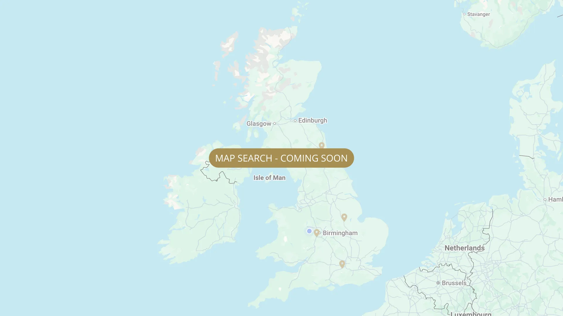
From its Staffordshire source to the Humber estuary, we are mapping every stretch on the Trent with verified permits, parking and access information.
.webp)
Important:
This component uses Transforms (Move Down 100%) to hide and show modal (on Tablet) so that filters apply once the user hits the apply button (optimal UX). Using the display: hidden will prevent the apply button from working.
To show and hide the modal for editing purposes on Tablet:
To show and hide the modal for editing purposes on Tablet:
- Select the filters2_filters-wrapper inside the parent div filters2_layout div.
- Hit the Hide button and it will show (yes this is counterintuitive).
Thank you! Your submission has been received!
Oops! Something went wrong while submitting the form.


Filters
Handsacre (25 pegs, 700 yards from new road bridge) — Birmingham Anglers Association (BAA)
From
~700 yards upstream from new road bridge, Handsacre WS15 4EB
To
New road bridge (downstream limit)
Membership Only
0.4 mi
WS15 4EB
Not Permitted

Kings Bromley (~1.5 miles) — Burslem Izaak Walton Angling Society (BIWAS)
From
Kings Bromley upstream boundary — Yoxall Bridge area (DE13 7HZ). River adjacent to Kings Bromley village, Staffordshire.
To
Kings Bromley downstream boundary — ~1.5 miles
Membership Only
1.5 mi (approx)
DE13 7HZ (Kings Bromley, Staffordshire)
Permitted
River Trent, Archers Stretch (~1 mile) — Burslem Izaak Walton Angling Society (BIWAS)
From
Archers Stretch upstream boundary — approximately 1 mile downstream of Kings Bromley main stretch (DE13)
To
Archers Stretch downstream boundary — approximately 1 mile in length
Membership Only
1.0 mi (approx)
Limited roadside parking near the Archers stretch. No formal car park. (BIWAS — check biwas.co.uk for current access)
Permitted
Alrewas — Prince Albert Angling Society (PAAS)
From
Alrewas upstream boundary — NEEDS VERIFY with PAAS
To
Alrewas downstream boundary — NEEDS VERIFY
Membership Only
Needs verification
DE13 7AE
Permitted
Enson to Weston (~3 miles) — Saracens Head Angling Group (SHAG)
From
Enson upstream boundary
To
Weston village downstream boundary (runs alongside T&M Canal)
Membership Only
3.0 mi
ST18 0HH (Weston, near Stafford)
Not Permitted
Burton-on-Trent, Municipal (23 pegs) — Coors Angling Club
From
Below pipe bridge, Washlands Club main gate, Meadow Road DE14 1BH
To
Downstream end of 23-peg Municipal stretch
Membership Only
Needs verification
DE14 1BH
Not Permitted
Burton-on-Trent, Sherratts (33 pegs) — Coors Angling Club
From
Municipal upstream boundary (Washlands Club main gate, Meadow Road — below pipe bridge, peg 1 just below pipe bridge)
To
Watersmeet downstream boundary (access via double coral gates at end of Baileys Meadow — dawn-dusk only on Watersmeet)
Membership Only
Needs verification
DE14 1BH (Washlands Sports & Social Club area, Burton-upon-Trent)
Permitted
Burton-on-Trent, Andressey (20 pegs) — Coors Angling Club
From
Municipal upstream boundary (Washlands Club main gate, Meadow Road — below pipe bridge, peg 1 just below pipe bridge)
To
Watersmeet downstream boundary (access via double coral gates at end of Baileys Meadow — dawn-dusk only on Watersmeet)
Membership Only
Needs verification
DE14 1BH (Washlands Sports & Social Club area, Burton-upon-Trent)
Permitted
Burton-on-Trent, Broadholme Island (26 pegs) — Coors Angling Club
From
Meadow Lane — walk over bridge, access via ramp off Burton Bridge (island)
To
Downstream end of 26-peg Broadholme Island stretch
Membership Only
Needs verification
DE14 1SX
Not Permitted
Burton-on-Trent, Baileys Meadow (25 pegs) — Coors Angling Club
From
Meadow side road off Burton Bridge — combination lock gate on right
To
Downstream end of 25-peg Baileys Meadow. 18 platforms with parking behind.
Membership Only
Needs verification
DE14 1SX
Not Permitted
No results found.
There are no results with this criteria. Try changing your search.