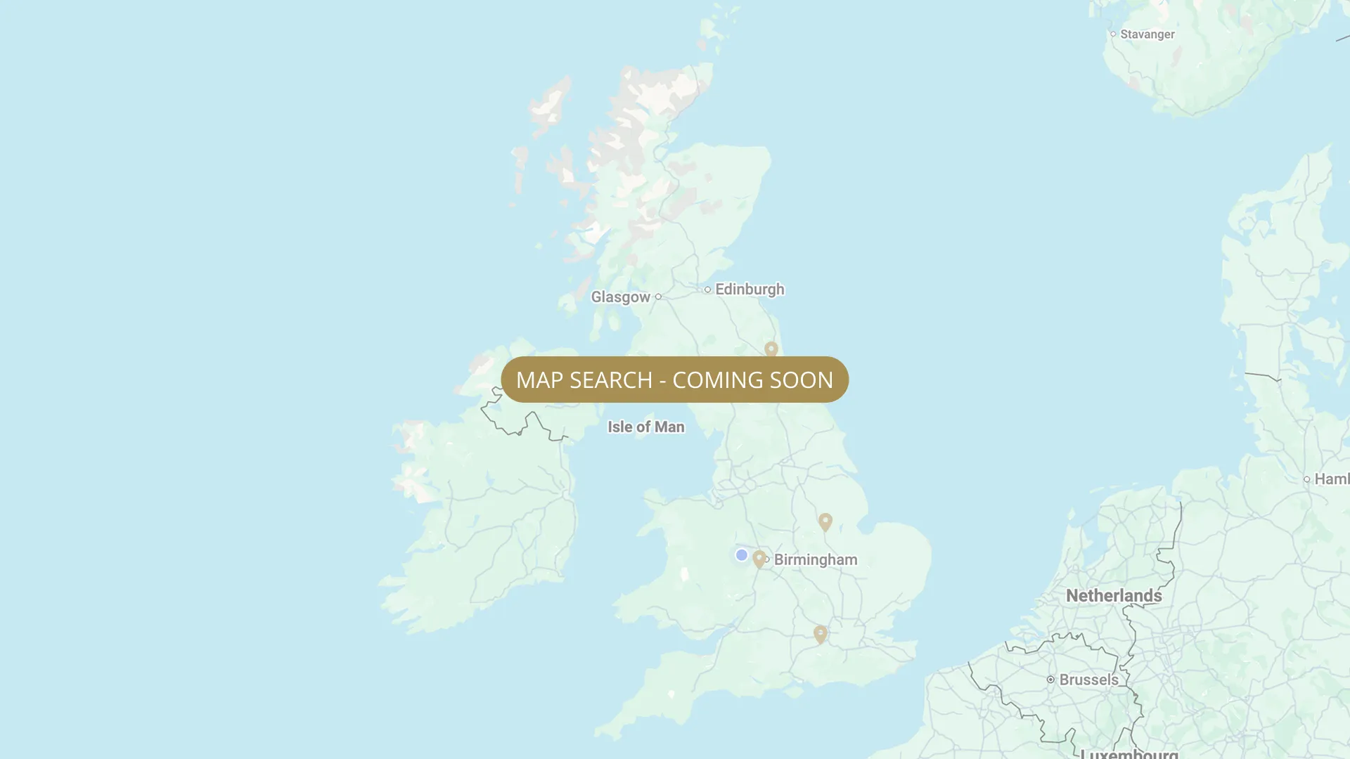
From its Staffordshire source to the Humber estuary, we are mapping every stretch on the Trent with verified permits, parking and access information.
.webp)
Important:
This component uses Transforms (Move Down 100%) to hide and show modal (on Tablet) so that filters apply once the user hits the apply button (optimal UX). Using the display: hidden will prevent the apply button from working.
To show and hide the modal for editing purposes on Tablet:
To show and hide the modal for editing purposes on Tablet:
- Select the filters2_filters-wrapper inside the parent div filters2_layout div.
- Hit the Hide button and it will show (yes this is counterintuitive).
Thank you! Your submission has been received!
Oops! Something went wrong while submitting the form.


Filters
TIDAL — Cromwell C1 (Weir stretch, 700m+) — Ashfield Angling Club (AAC)
From
Entrance to Cromwell Lock — NG23 6HX
To
700m+ downstream of lock entrance
Membership Only
0.44 mi (approx)
NG23 6HX
Permitted

TIDAL — Cromwell C2 (lower section) — Ashfield Angling Club (AAC)
From
Below C1 — starts downstream of 700m+ C1 weir stretch
To
C2 downstream boundary (see ashfieldangling.com interactive map)
Membership Only
Needs verification
NG23 7AT
Permitted
TIDAL — Lincoln & District AA (North Clifton, 45 pegs, members only)
From
Upper pegs via Trent Lane NG23 7AT
To
Lower pegs via Church Lane
Membership Only
Needs verification
NG23 7AT
Permitted
TIDAL -Rampton (Rampton Fishing Club — annual members only)
From
Torksey Ferry Road/Lane, Rampton, turn right up flood bank
To
NEEDS VERIFY
Membership Only
DN22 0HT
Permitted
TIDAL — Laughterton (60 pegs) — Lincoln & District AA
From
Marsh Lane car park, Laughterton, Lincoln LN1 2JX (start of fishing area)
To
Downstream end of 60-peg stretch
Membership Only
Needs verification
LN1 2JX
Permitted
TIDAL - Laughterton (downstream of LDAA, ~1 mile towards Rampton Island) — Ranmoor Piscatorial Society
From
Downstream of LDAA Laughterton boundary (STR-130)
To
Towards Rampton Island (~1 mile)
Private / Syndicate
1.0 mi (approx)
DN22 0HU
Not Permitted
Torksey Arm — Lincoln & District AA (members + day ticket; Oct–Mar night on floating platform)
From
Torksey Lock LN1 2EH — immediately past lock on right of arm toward Trent
To
Floating mooring platform (full length of secured arm stretch)
Day Ticket & Season
Needs verification
LN1 2EH
Permitted
TIDAL — Rampton Island — Scunthorpe Amalgamated Anglers (SAA, night fishing, wild terrain)
From
Rampton Island, tidal River Trent — owned by SAA since 2010 (Sheffield & District AA amalgamation)
To
Downstream extent of island stretch
Membership Only
Needs verification
Roadside parking at Rampton. Tidal stretch — check tide times.
Permitted
Fox Covert Fisheries
From
Peg 1 Foxcovert
To
Peg 5 Foxcovert
Day Ticket Only
Needs verification
DN22 0NQ
Permitted
TIDAL — Manor House Caravan Park (pegs 21-32, guests only)
From
Peg 21 Manor House Caravan Park
To
Peg 32 Manor House Caravan Park
Campers Only
Needs verification
DN22 0NJ
Permitted
No results found.
There are no results with this criteria. Try changing your search.