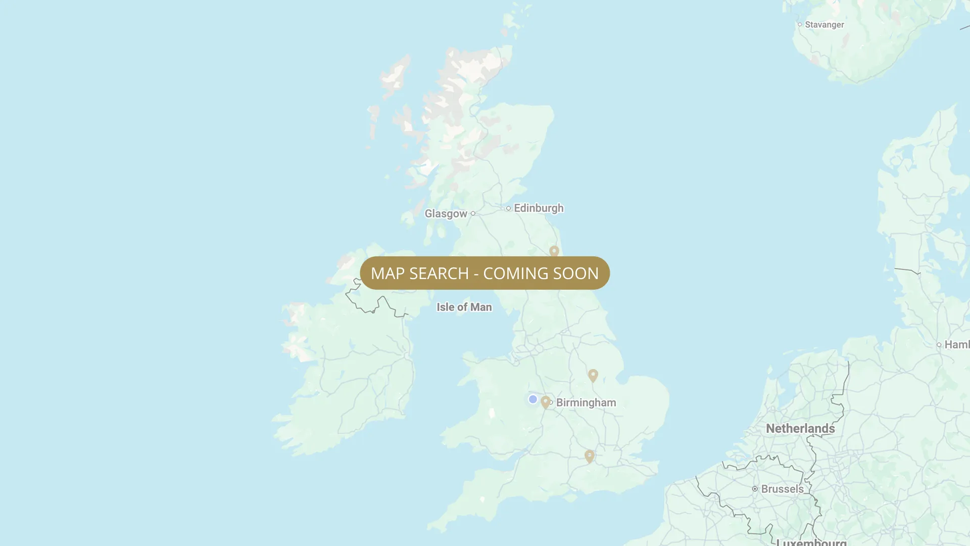
From its Staffordshire source to the Humber estuary, we are mapping every stretch on the Trent with verified permits, parking and access information.
.webp)
Important:
This component uses Transforms (Move Down 100%) to hide and show modal (on Tablet) so that filters apply once the user hits the apply button (optimal UX). Using the display: hidden will prevent the apply button from working.
To show and hide the modal for editing purposes on Tablet:
To show and hide the modal for editing purposes on Tablet:
- Select the filters2_filters-wrapper inside the parent div filters2_layout div.
- Hit the Hide button and it will show (yes this is counterintuitive).
Thank you! Your submission has been received!
Oops! Something went wrong while submitting the form.


Filters
TIDAL — HDAA (Carlton on Trent, ~0.75 mile, members only + night permit)
From
Metal gate (start of HDAA fishing — downstream of upstream access)
To
Downstream boundary — ~0.75 mile
Membership Only
0.8 mi
NG23 6NR
Permitted

TIDAL - Carlton on Trent — Waltonian Angling Club (private, members only)
From
Carlton on Trent, Nottinghamshire (tidal section)
To
South Holme
Membership Only
NG23 6NS Roadside parking on Holme Lane, south of Girton. No formal car park — private syndicate.
Permitted
TIDAL — Scunthorpe Amalgamated Anglers (South Clifton right bank + Besthorpe area)
From
South Clifton right bank (above South Clifton) + above and below Iron & Steel AC 15-peg stretch at Trent Lane end, Besthorpe
To
Multiple downstream boundaries — see Bob Roberts maps 7 and 9
Membership Only
Needs verification
Park on flood bank (south Clifton). SAA members only — no vehicular access on flood bank except for unloading when ground permits.
Permitted
TIDAL — Besthorpe (above and below Iron & Steel AC) — Scunthorpe Amalgamated Anglers (SAA)
From
Above Iron & Steel AC 15-peg stretch at Trent Lane end, Besthorpe
To
Below Iron & Steel AC 15-peg stretch downstream boundary
Membership Only
Needs verification
NG23 7HR (Lord Nelson pub, Besthorpe, for navigation)
Permitted
TIDAL — Iron & Steel AC (15 pegs, Trent Lane end, Besthorpe — from June 2024)
From
Trent Lane end, Besthorpe — 15 pegs below Trent Lane (boundary changed 16 June 2024)
To
Downstream boundary of 15-peg stretch (above and below = Scunthorpe AA)
Membership Only
Needs verification
Trent Lane, Besthorpe. Park carefully roadside or at locked gate for downstream pegs. (scunthorpeanglers.co.uk)
Permitted
TIDAL — Girton (~600m, ~30 pegs) — Newark & District Piscatorial Federation / SAA (shared, night via SAA)
From
Fishing starts approx. 100m downstream from fence on left after Trent Lane, Girton NG23 7JB
To
Approx. 600m downstream (~30 pegs)
Day Ticket & Season
0.37 mi
NG23 7JB
Permitted
TIDAL — Trent Point Fishery — NPS + Retford Angling Supplies (joint control Oct 2024)
From
Trent Point area (tidal Trent, Maps 2-3 on Bob Roberts guide) — opened 2020
To
Downstream boundary NEEDS VERIFY
Membership Only
Needs verification
LN1 2JX
Not Permitted
TIDAL — ABF / Worksop & District AC (Normanton on Trent, ~600 yards, 24hr fishing)
From
Normanton on Trent upstream boundary (track from road, now gated — combination issued to members)
To
Downstream boundary of ~600 yard stretch
Membership Only
0.3 mi
NG23 6LG
Permitted
TIDAL — Sutton on Trent (1.5+ miles) — The Barbel Society (syndicate, waiting list)
From
Sutton on Trent — upstream boundary of BS syndicate water
To
Downstream boundary NEEDS VERIFY — 1.5+ miles of bank
Membership Only
1.5 mi
NG23 (Sutton on Trent, Nottinghamshire — tidal Trent)
Permitted
TIDAL — Normanton on Trent (600 yards) — The Barbel Society (syndicate, waiting list)
From
Normanton on Trent — upstream boundary of BS 600-yard stretch
To
600 yards downstream end
Membership Only
1.0 mi
NG23 (Normanton on Trent, Nottinghamshire — tidal Trent)
Permitted
No results found.
There are no results with this criteria. Try changing your search.