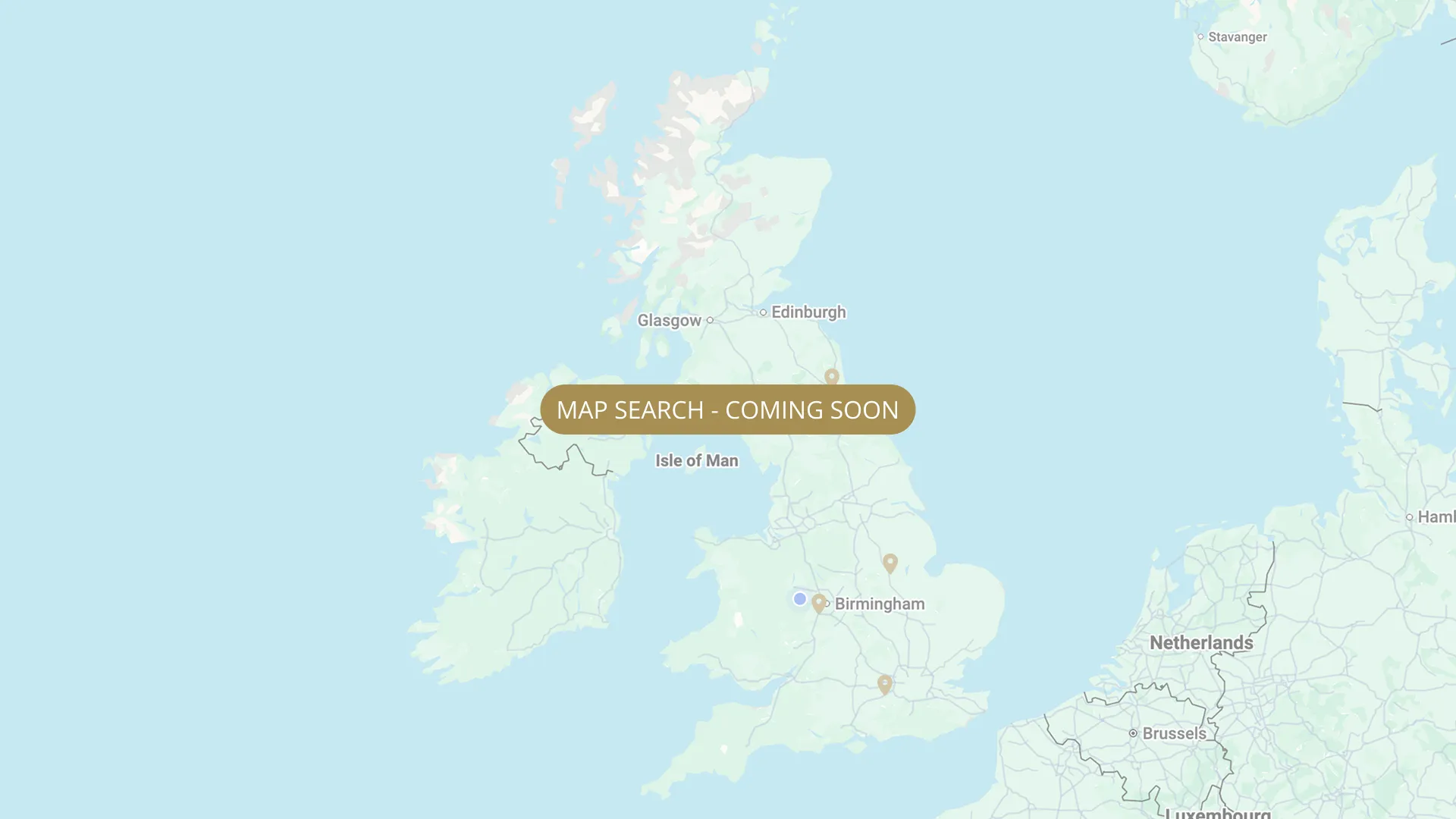
From its Staffordshire source to the Humber estuary, we are mapping every stretch on the Trent with verified permits, parking and access information.
.webp)
Important:
This component uses Transforms (Move Down 100%) to hide and show modal (on Tablet) so that filters apply once the user hits the apply button (optimal UX). Using the display: hidden will prevent the apply button from working.
To show and hide the modal for editing purposes on Tablet:
To show and hide the modal for editing purposes on Tablet:
- Select the filters2_filters-wrapper inside the parent div filters2_layout div.
- Hit the Hide button and it will show (yes this is counterintuitive).
Thank you! Your submission has been received!
Oops! Something went wrong while submitting the form.


Filters
Church Laneham (Trentfield Farm campsite) — FREE FISHING for campsite guests
From
Trentfield Farm riverfront, Church Laneham DN22 0NJ
To
Private river frontage (200 feet / ~60m)
Campers Only
0.0 mi (approx)
DN22 0NJ
Not Permitted

TIDAL — Fledborough Viaduct (above Dunham Dubs) — Trent Fishing Club (unannounced new water)
From
Above Dunham Dubs field
To
Fledborough Viaduct
Day Ticket & Season
DN22 (Fledborough Viaduct area) Walk and barrow only at present — no vehicular access yet. Parking in bridge field.
Permitted
TIDAL — Trent Fishing Club (Newton Cliff / Bubble Dyke, east bank)
From
Newton Cliff
To
North Clifton (Bubble Dyke area)
Day Ticket & Season
LN1 2LF
Permitted
TIDAL — Cottam to Torksey Bridge — Rampton Fishing Club (members only)
From
Cottam Power Station (downstream of AAC 6 pegs)
To
Torksey Bridge
Membership Only
Permitted
TIDAL — Dunham Bridge (just over 1 mile, west bank) — Scunthorpe Amalgamated Anglers (SAA)
From
Big car park under Dunham Bridge — SAA signs at secured gate and stile (upstream start of fishing area)
To
Just before pump house around river bend (downstream end) — towards Church Laneham
Membership Only
1.0 mi (approx)
Roadside parking at Dunham Bridge. Tidal stretch — check tide times before visiting.
Permitted
TIDAL - Dunham Bridge East Bank (Newton on Trent) — Scunthorpe Pisces Angling Club
From
East bank (Newton on Trent side) of Dunham Bridge — opposite SAA west bank (STR-070)
To
NEEDS VERIFY — extent of east bank stretch
Day Ticket & Season
Needs verification
DN22 (Newton on Trent, Lincolnshire — east bank at Dunham Bridge)
Permitted
TIDAL — Trent Fishing Club (Dunham Bridge left bank + upstream extension to Dunham Dubs)
From
Dunham Bridge area — left bank
To
Dunham Dubs (upstream) to downstream boundary NEEDS VERIFY (Steve Gott)
Day Ticket & Season
Needs verification
DN22 0UH
Permitted
TIDAL — Rampton Village (near Torksey) — Ashfield Angling Club (AAC, 75m, 6 pegs, night fishing)
From
Rampton Village upstream boundary (~75m of bank)
To
Rampton Village downstream boundary
Membership Only
0.1 mi
DN22 0HT
Permitted
TIDAL — Littleborough to West Burton Power Station (3.5 miles) — Ashfield Angling Club (AAC) + SYPAC
From
Littleborough (old ferry, first fence & stile downstream) / River Cottage upstream meadow, DN21 5AY
To
West Burton Power Station (downstream end) — no vehicular access at power station end
Membership Only
3.5 mi (approx)
DN22 0HD (South car park) / DN22 0HB (north access via Long Farm Lane)
Not Permitted
No results found.
There are no results with this criteria. Try changing your search.