
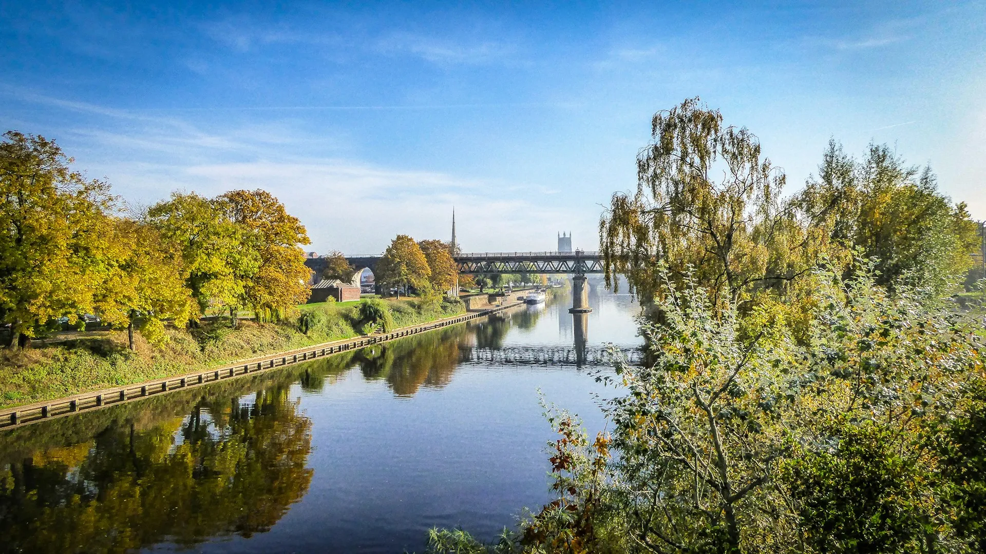
From the Welsh hills to the Bristol Channel, we are mapping every stretch on the Severn with verified permits, parking and access information.
Important:
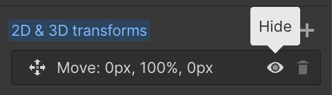
This component uses Transforms (Move Down 100%) to hide and show modal (on Tablet) so that filters apply once the user hits the apply button (optimal UX). Using the display: hidden will prevent the apply button from working.
To show and hide the modal for editing purposes on Tablet:
To show and hide the modal for editing purposes on Tablet:
- Select the filters2_filters-wrapper inside the parent div filters2_layout div.
- Hit the Hide button and it will show (yes this is counterintuitive).
Thank you! Your submission has been received!
Oops! Something went wrong while submitting the form.


Filters
Wellmeadow — Bridgnorth
From
Bridgnorth, right bank (opposite Castle Hill) — sign marks the top of the stretch
To
Downstream limit adjacent to Riverside Caravan Park (STR-SEV-079)
Membership Only
needs verify
needs verify
Not Permitted

Barbel
Chub
Dace
Perch
Pike
The Riverside Caravan Park, Bridgnorth — River Severn
From
Riverside Caravan Park, Bridgnorth (upstream end)
To
Downstream extent adjacent to caravan park
Campers Only
WV15 6BY
Not Permitted
Barbel
Chub
Roach
Bream
Pike
Danery & Farthings Meadow — BAA
From
Needs Verification (Danery area, south of Bridgnorth)
To
Needs Verification
Membership Only
Needs Verification mi
WV15 6QH
Not Permitted
Barbel
Pike
Roach
Chub
Dace
Knowle Sands — BAA
From
Upstream end section 1 (BAA car park off Swan Inn, Chelmarsh)
To
Downstream end section 4 (near Eardington sewage works)
Membership Only
Needs Verification mi
WV16 5JL
Permitted
Barbel
Pike
Roach
Chub
Hampton Loade — BAA Left Bank
From
National Trust car park at ferry, Hampton Loade (upstream)
To
Downstream limit
Membership Only
Needs Verification mi
WV15 6HD
Not Permitted
Barbel
Chub
Roach
Dace
Perch
Hampton Loade 'B' Section — BAA
From
Hampton Loade B section upper limit
To
Downstream limit
Membership Only
Needs Verification mi
WV15 6HN
Not Permitted
Barbel
Chub
Dace
Roach
Hampton Loade Left Bank — KFAC
From
Top Meadow (upstream, field 1)
To
Lower meadow + members-only 400yd section at downstream end
Day Ticket & Season
~0.75 mi
WV15 6HN
Not Permitted
Barbel
Chub
Pike
Perch
Roach
KFAC Unicorn Inn
From
Via road from Chelmarsh (see Parking Information) — NOT the NT car park
To
300yds downstream, ~12 swims, camping field included
Day Ticket & Season
~0.28 mi
WV15 6BN
Permitted
Barbel
Chub
Pike
Perch
Roach
Barbel Alley
From
Hampton Loade, adjacent to the Unicorn Inn, facing the water works
To
~150m from established Hampton Loade day-ticket water
Day Ticket Only
WV16
Not Permitted
Barbel
Bream
Chub
Perch
Pike
Arley
From
Arley area (upstream, near Arley footbridge)
To
Hextons (downstream limit, south of Highley)
Membership Only
Several mi
WV15 6LE
Not Permitted
Barbel
Chub
Roach
Dace
Pike
No results found.
There are no results with this criteria. Try changing your search.
