
Every river. Every stretch. Every detail.
We are mapping every fishable river in the UK, one stretch at a time. With over 1000 stretches and counting, we are on a mission to map every river in the UK.
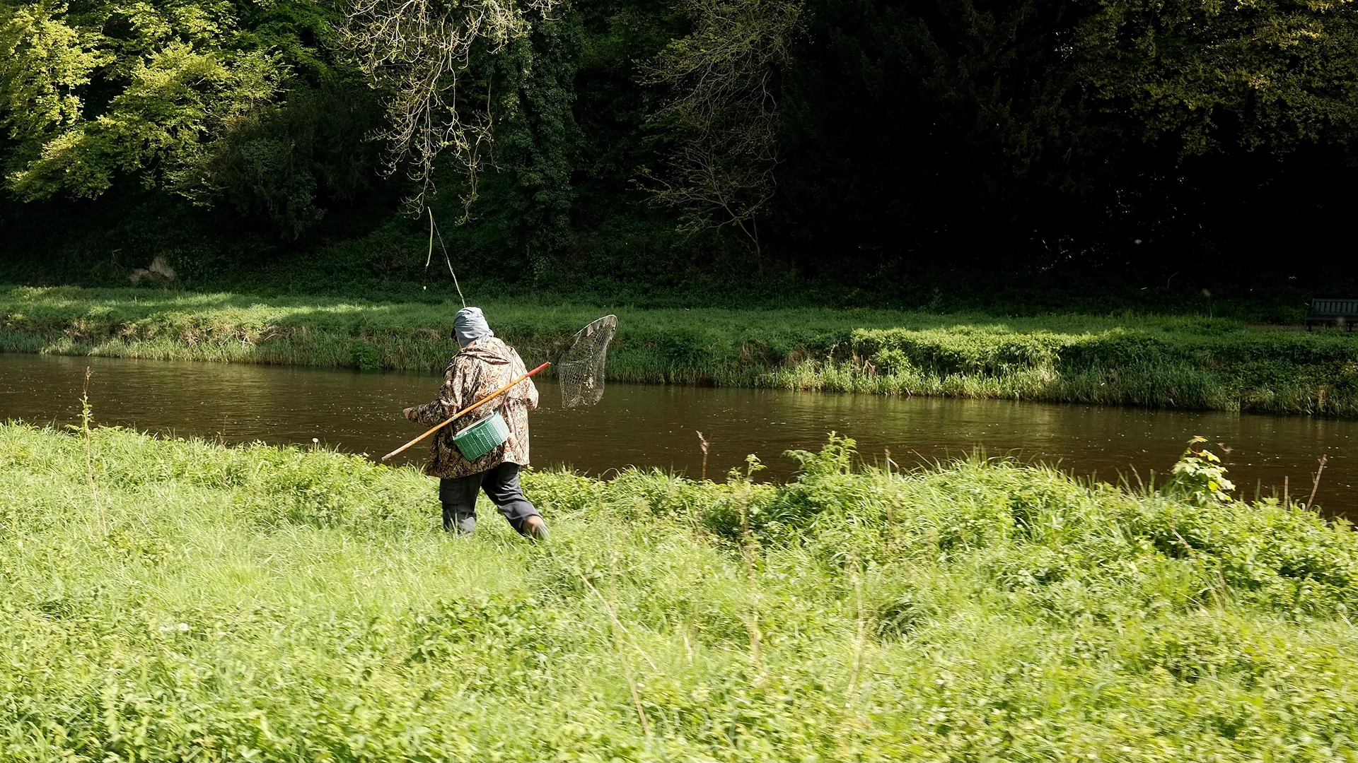

16 rivers and over 1200 stretches, with more coming soon.
We are working hard to map every fishable river in the UK. To be notified when new rivers are added to Rod and Bank, subscribe to our email newsletter.

River Kennet
Every fishable stretch on the River Kennet, verified and mapped, from source to the Thames.
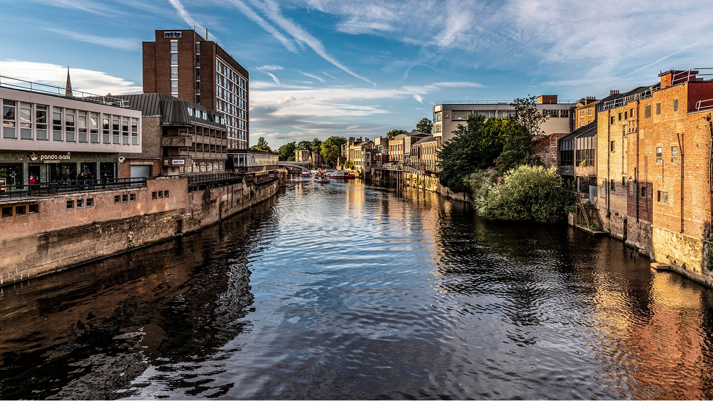
Yorkshire Ouse
Every fishable stretch on the Yorkshire Ouse, verified and mapped, from source to the Humber.
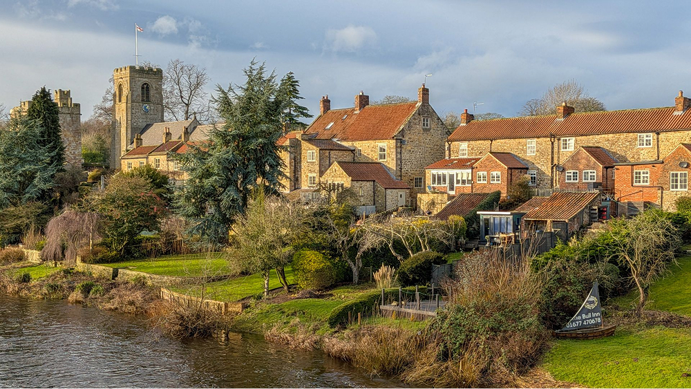
River Ure
Every fishable stretch on the River Ure, verified and mapped, from source to the Ouse.

River Tees
Every fishable stretch on the River Tees, verified and mapped, from source to sea.

River Thames
Every fishable stretch on the Thames, verified and mapped, from source to estuary.
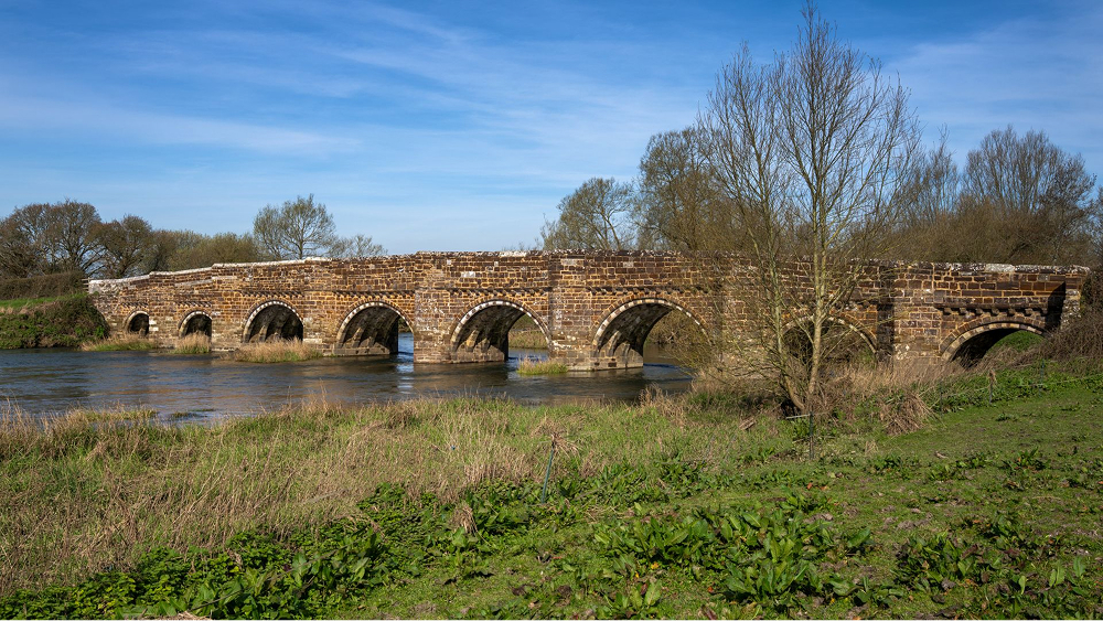
River Stour (Dorset)
Every fishable stretch on the Dorset Stour, verified and mapped, from source to sea.
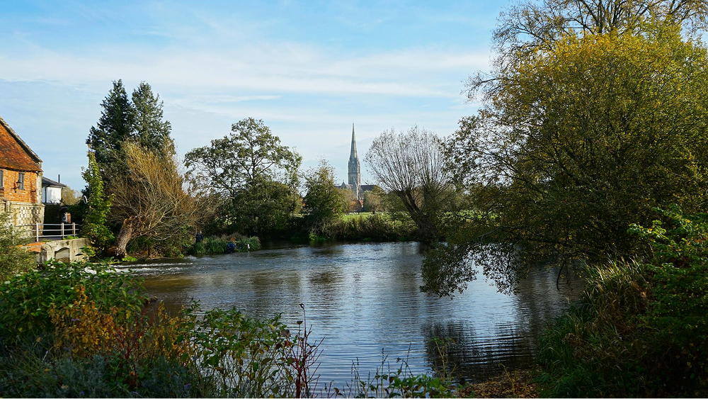
Hampshire Avon
Every fishable stretch on the Hampshire Avon, verified and mapped, from source to sea.
River Kennet
Every fishable stretch on the River Kennet, verified and mapped, from source to the Thames.

River Trent
Every fishable stretch on the Trent, mapped from source to estuary, coming soon.

Warwickshire Avon
Every fishable stretch on the Warwickshire Avon, verified and mapped, from source to estuary.
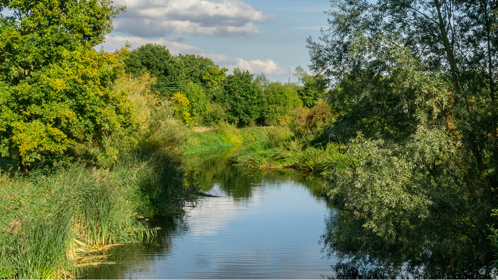
River Derwent (Derbyshire)
Every fishable stretch on the River Derwent, verified and mapped, from source to the Trent.
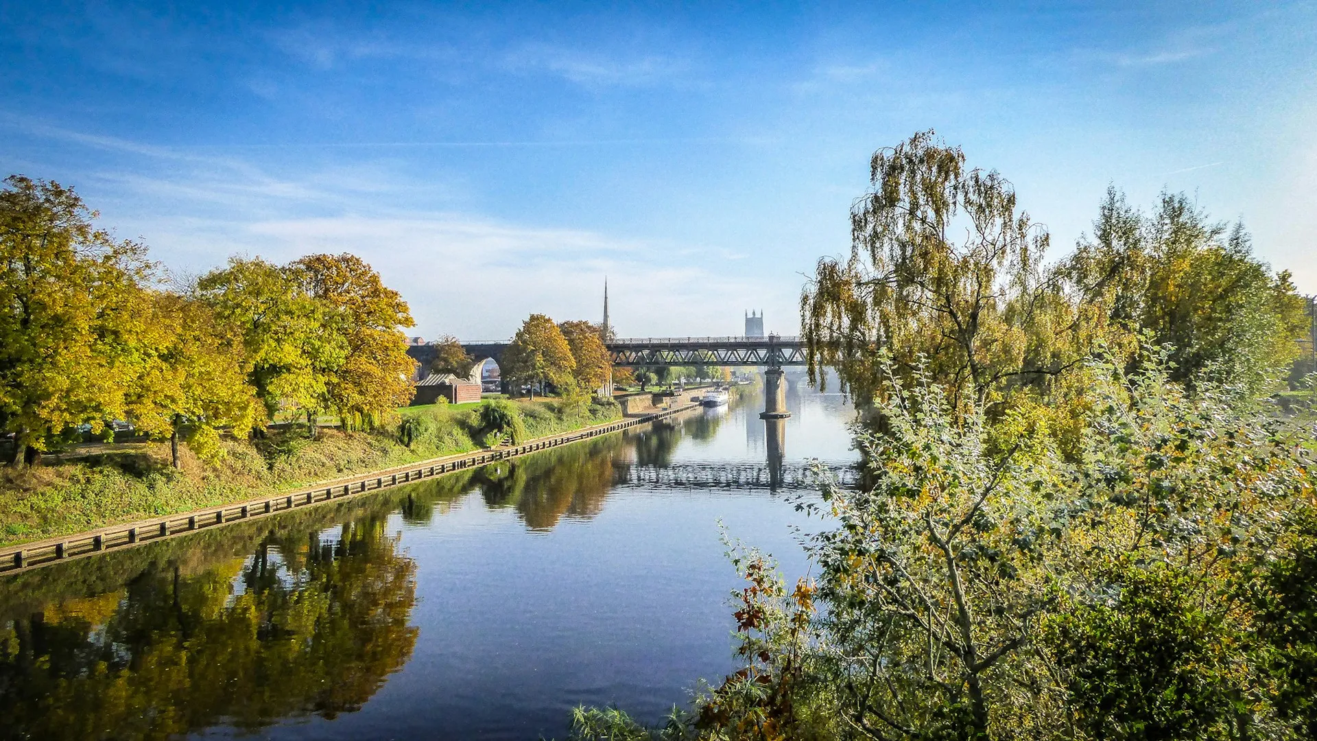
River Severn
Every fishable stretch on the Severn, mapped from source to estuary, coming soon.

River Wye
Every fishable stretch on the Wye, verified and mapped, from source to estuary.
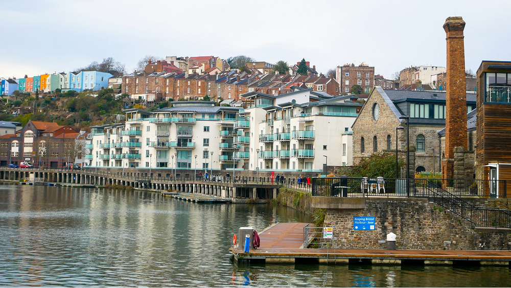
Bristol Avon
Every fishable stretch on the Bristol Avon, verified and mapped, from source to the Severn Estuary.
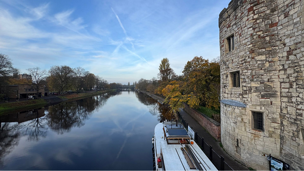
River Great Ouse
Every fishable stretch on the Great Ouse, verified and mapped, from source to the Wash.
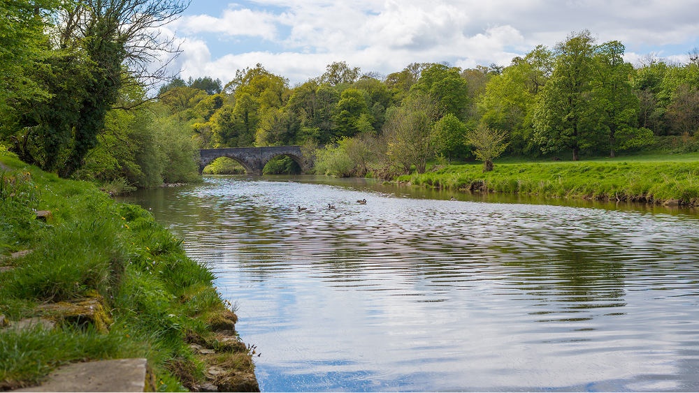
River Ribble
Every fishable stretch on the River Ribble, verified and mapped, from source to sea.
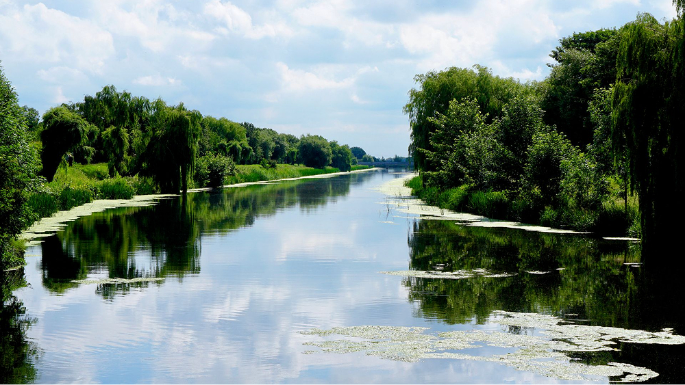
River Witham
Every fishable stretch on the River Witham, verified and mapped, from source to the Wash.
Yorkshire Ouse
Every fishable stretch on the Yorkshire Ouse, verified and mapped, from source to the Humber.
River Ure
Every fishable stretch on the River Ure, verified and mapped, from source to the Ouse.
River Tees
Every fishable stretch on the River Tees, verified and mapped, from source to sea.
