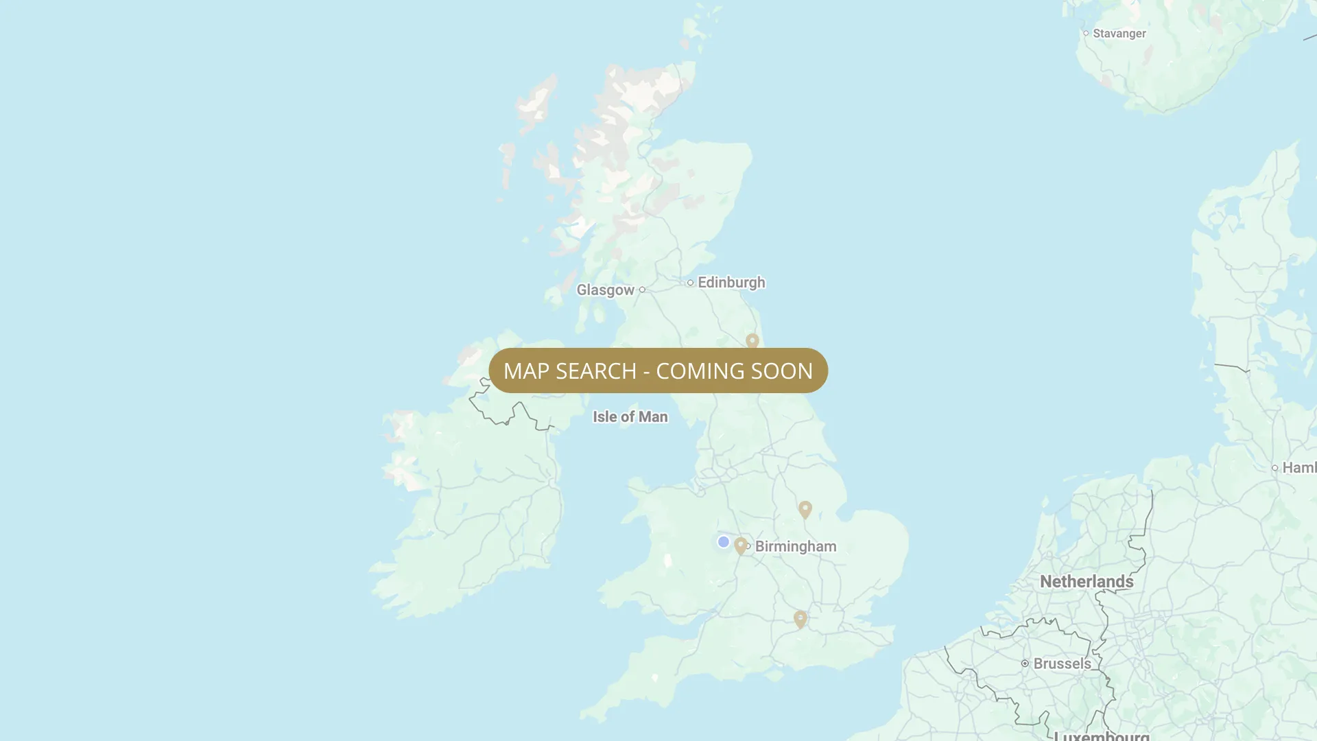
From its Plynlimon source through Herefordshire to the Severn estuary, every stretch on the Wye is mapped with verified permits, parking and access information, free for every angler.
.webp)
Important:
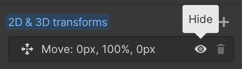
This component uses Transforms (Move Down 100%) to hide and show modal (on Tablet) so that filters apply once the user hits the apply button (optimal UX). Using the display: hidden will prevent the apply button from working.
To show and hide the modal for editing purposes on Tablet:
To show and hide the modal for editing purposes on Tablet:
- Select the filters2_filters-wrapper inside the parent div filters2_layout div.
- Hit the Hide button and it will show (yes this is counterintuitive).
Thank you! Your submission has been received!
Oops! Something went wrong while submitting the form.


Filters
Lower Redbank 1 (WUF Passport)
From
Above Holme Lacy, Mordiford area
To
Downstream to Huntsmans Pool
Day Ticket Only
765 yards
HR1 4LP
Not Permitted

Lower Redbank 2 (formerly "Upper Holme Lacy")
From
Above Holme Lacy (left bank)
To
Downstream toward Hopyard/Huntsman's Pool area (left bank)
Day Ticket Only
897 yards
HR1 4LP
Not Permitted
Middle Rotherwas (Docklow Pool)
From
Near Hereford, between Holme Lacy and Fownhope
To
Near Hereford (extent Needs Verification)
Day Ticket Only
~2 mi
HR2 6LD
Not Permitted
Underhill Farm
From
At Foy, a few miles upstream of Ross-on-Wye
To
A few miles upstream of Ross-on-Wye (extent Needs Verification)
Day Ticket Only
~1 mi
HR9 6RD
Not Permitted
Lower Hill Court (Angling Dreams)
From
A few miles downstream of Ross-on-Wye
To
A few miles downstream of Ross-on-Wye (extent Needs Verification)
Day Ticket & Season
~2 mi
Needs Verification
Not Permitted
Ross-on-Wye — Town Water
From
Bridstow A40 Bridge (top of section)
To
One meadow below Wilton Bridge
Day Ticket & Season
Needs Verification
HR9 7BS
Not Permitted
Ross-on-Wye — Upper Benhall (Duchy of Cornwall — Robert Pashley water)
From
Backney beat (upstream boundary)
To
Lower Benhall boundary
Membership Only
Needs Verification
HR9 6LJ
Not Permitted
Ross-on-Wye — Lower Benhall (Duchy of Cornwall — Robert Pashley water)
From
Upper Benhall boundary
To
Bridstow A40 Bridge (top of Town Water section)
Membership Only
Needs Verification
HR9 7BS
Not Permitted
Ross-on-Wye — Weirend (Duchy of Cornwall — Robert Pashley water)
From
Below Ross-on-Wye town
To
Toward Goodrich Court
Membership Only
Needs Verification
HR9 6JL
Not Permitted
Ross-on-Wye — Sellack (Duchy of Cornwall — Robert Pashley water)
From
Toward Goodrich Court (downstream boundary)
To
Goodrich Court
Membership Only
Needs Verification
HR9 6LJ
Not Permitted
No results found.
There are no results with this criteria. Try changing your search.