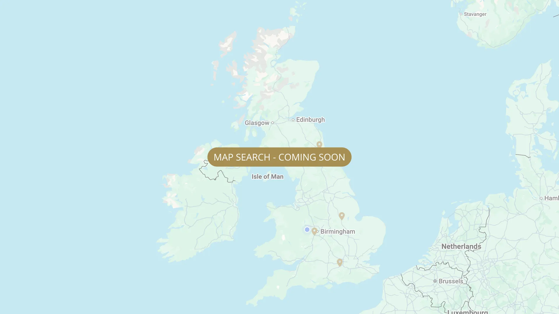
From its Plynlimon source through Herefordshire to the Severn estuary, every stretch on the Wye is mapped with verified permits, parking and access information, free for every angler.
.webp)
Important:
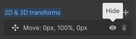
This component uses Transforms (Move Down 100%) to hide and show modal (on Tablet) so that filters apply once the user hits the apply button (optimal UX). Using the display: hidden will prevent the apply button from working.
To show and hide the modal for editing purposes on Tablet:
To show and hide the modal for editing purposes on Tablet:
- Select the filters2_filters-wrapper inside the parent div filters2_layout div.
- Hit the Hide button and it will show (yes this is counterintuitive).
Thank you! Your submission has been received!
Oops! Something went wrong while submitting the form.


Filters
Coedithel
From
Near the tidal limit, below Tintern
To
Near Chepstow (exact boundary Needs Verification)
Private / Syndicate
Needs Verification
NP16 5EY
Not Permitted

Tintern (mostly free coarse + private salmon syndicate)
From
Llandogo, Monmouthshire
To
Tintern, Monmouthshire (near Tintern Abbey)
Free
Needs Verification
NP16 6SE
Not Permitted
Tintern to Chepstow (tidal limit / Severn confluence)
From
Tintern, Monmouthshire
To
Chepstow, tidal limit / Severn Estuary confluence
Private / Syndicate
Needs Verification
NP16 5EY
Not Permitted
No results found.
There are no results with this criteria. Try changing your search.