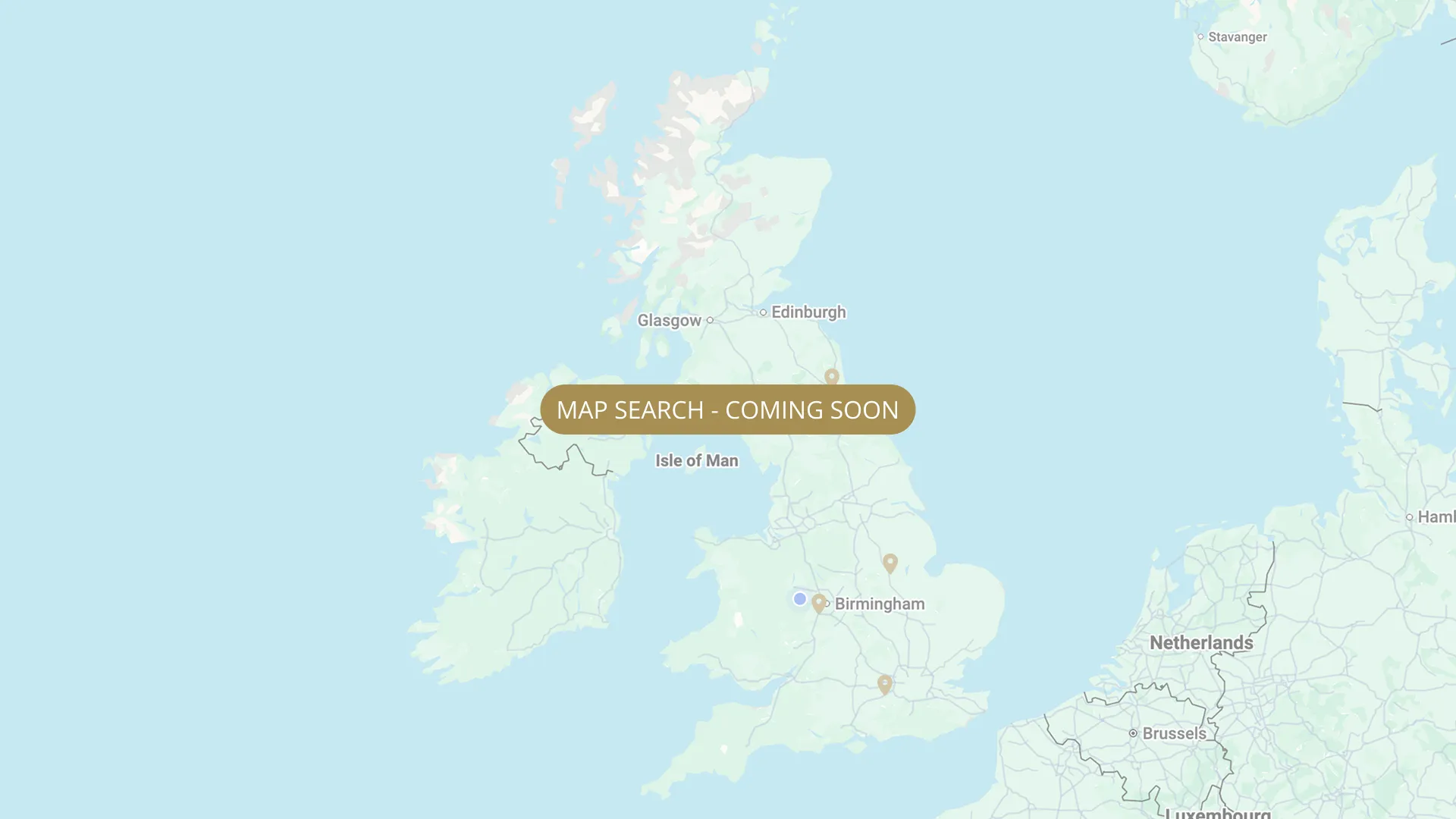
From Ashton Keynes to Teddington, every stretch on the Thames is mapped with verified permits, parking and access information, free for every angler.
Important:
This component uses Transforms (Move Down 100%) to hide and show modal (on Tablet) so that filters apply once the user hits the apply button (optimal UX). Using the display: hidden will prevent the apply button from working.
To show and hide the modal for editing purposes on Tablet:
To show and hide the modal for editing purposes on Tablet:
- Select the filters2_filters-wrapper inside the parent div filters2_layout div.
- Hit the Hide button and it will show (yes this is counterintuitive).
Thank you! Your submission has been received!
Oops! Something went wrong while submitting the form.
Filters
Sort by
Rivermead Island, Lower Sunbury — FREE
From
Thames Street, ~½ mile downstream of Sunbury Lock
To
Rivermead Island
Free
0.25 mi
TW16 5QF
Carp
Pike
Bream
Barbel
Roach
Walton-on-Thames — FREE (Walton Bridge area)
From
Walton area
To
Near Walton Bridge
Free
0.5 mi
KT12 2PX
Roach
Dace
Bleak
Chub
Perch
Molesey Lock / Weir (EA)
From
Off A3050 Hurst Road / Riverbank Road
To
Molesey Lock
EA Lock & Weir Permit
KT8 9AJ
Mixed Coarse
Teddington Lock Island — FREE
From
Teddington Lock Island
To
Teddington Lock
Free
0.1 mi
TW11 9NG
Mixed Coarse
Shiplake — Downstream of Railway Bridge (Private Syndicate)
From
Shiplake railway bridge (downstream boundary starts here)
To
Approximately 0.75 miles downstream of railway bridge
Private / Syndicate
0.75 mi
RG9 3LT
Chub
Barbel
Roach
Perch
Bream
No results found.
There are no results with this criteria. Try changing your search.